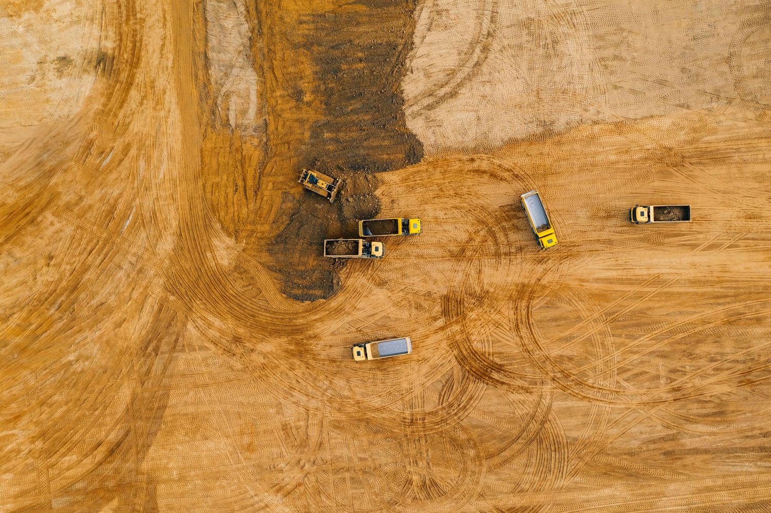
Our technology stack is designed to deliver reliable aerial data capture, consistent outputs and developer-ready reporting across single sites and multi-site projects.
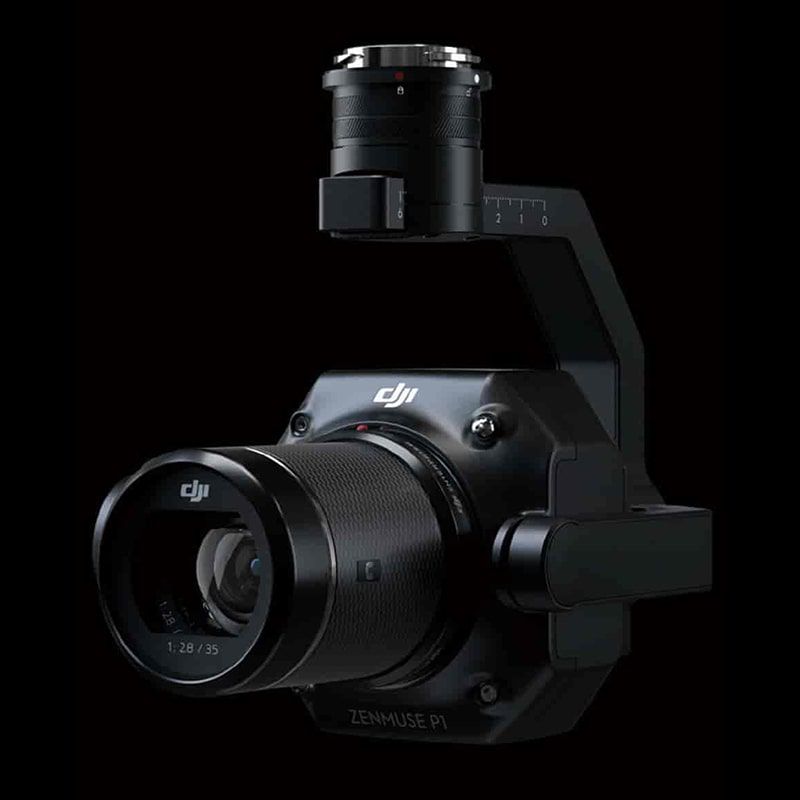
Zenmuse P1
The Zenmuse P1 supports high-resolution aerial data capture for orthomosaics, 3D site models and site-wide mapping outputs. Its full-frame sensor and fast image capture workflow help produce clear, detailed visual datasets for planning support, reporting and development review.
Matrice 300 RTK | Enterprise Aerial Capture Platform
The Matrice 300 RTK provides a stable, reliable platform for repeatable commercial missions. Combined with the Zenmuse P1, it supports structured capture workflows for development sites, infrastructure projects and large-area aerial mapping.
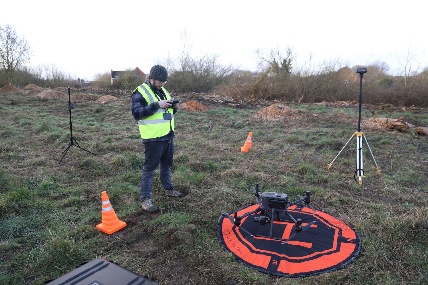
RTK Mapping Workflow
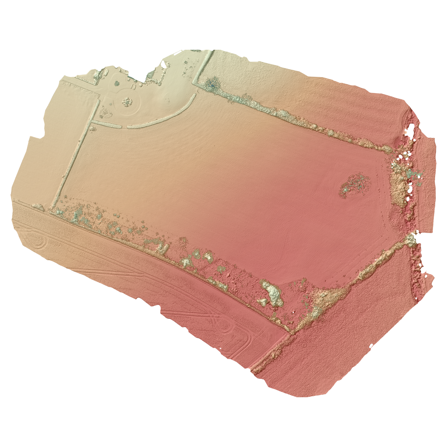
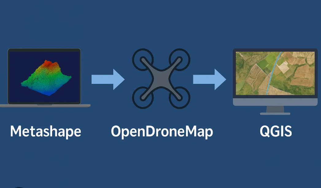
For mapping, orthomosaics and 3D modelling, we combine RTK-enabled capture with ground control where required to support accurate, repeatable site outputs. This helps deliver mapping and visual intelligence suitable for planning review, stakeholder reporting and live project analysis.
Flexible Capture Platforms
Alongside our enterprise RTK system, we use additional capture platforms where appropriate for wider site context, supplementary aerial visuals and responsive deployment requirements.
Built for Consistent Project Delivery
Our technology is chosen to support repeatable capture, developer-ready outputs and clear reporting across single sites and multi-site portfolios. The result is a more structured aerial intelligence workflow for commercial teams who need reliable information, not just drone imagery.