TRUSTED BY:

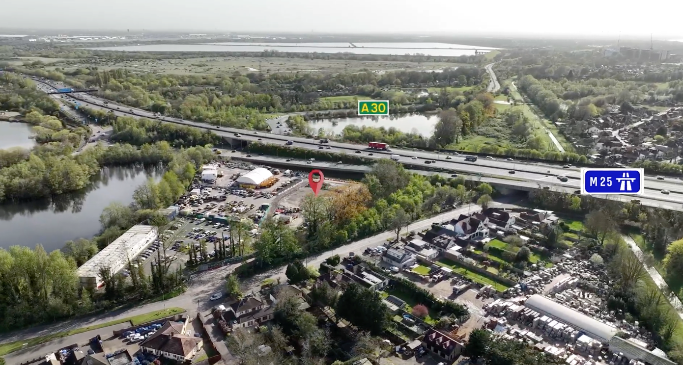
Aerial Site Visualisation
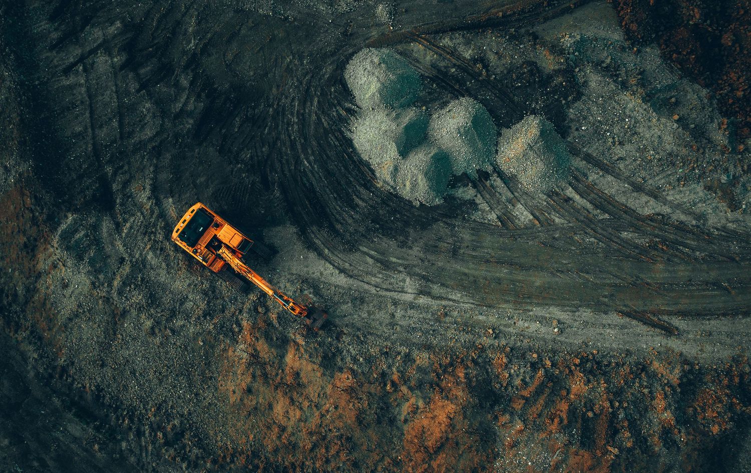
High-resolution drone imagery and cinematic orbit visuals designed to clearly communicate site context, access points and surrounding infrastructure for planning presentations.
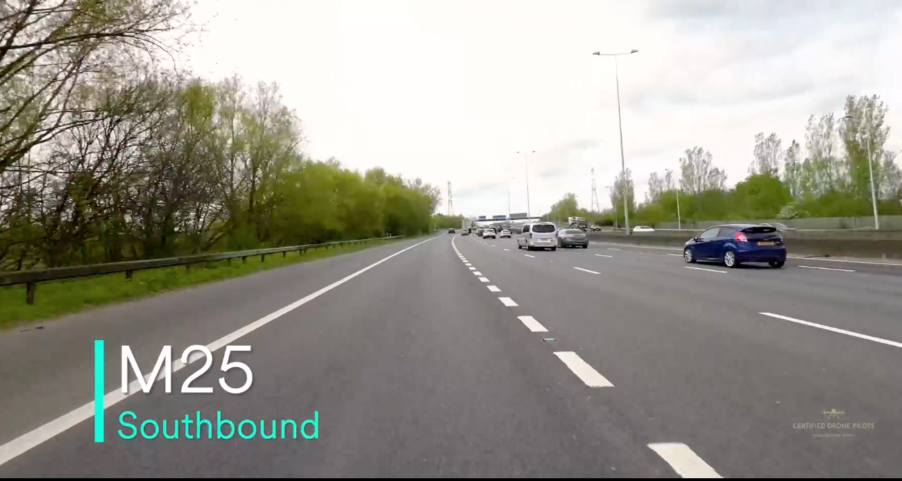
Traffic Flow & Access Routes
POV route captures and traffic time-lapse visuals helping stakeholders understand approach routes, junction visibility and observed traffic conditions at the time of capture.
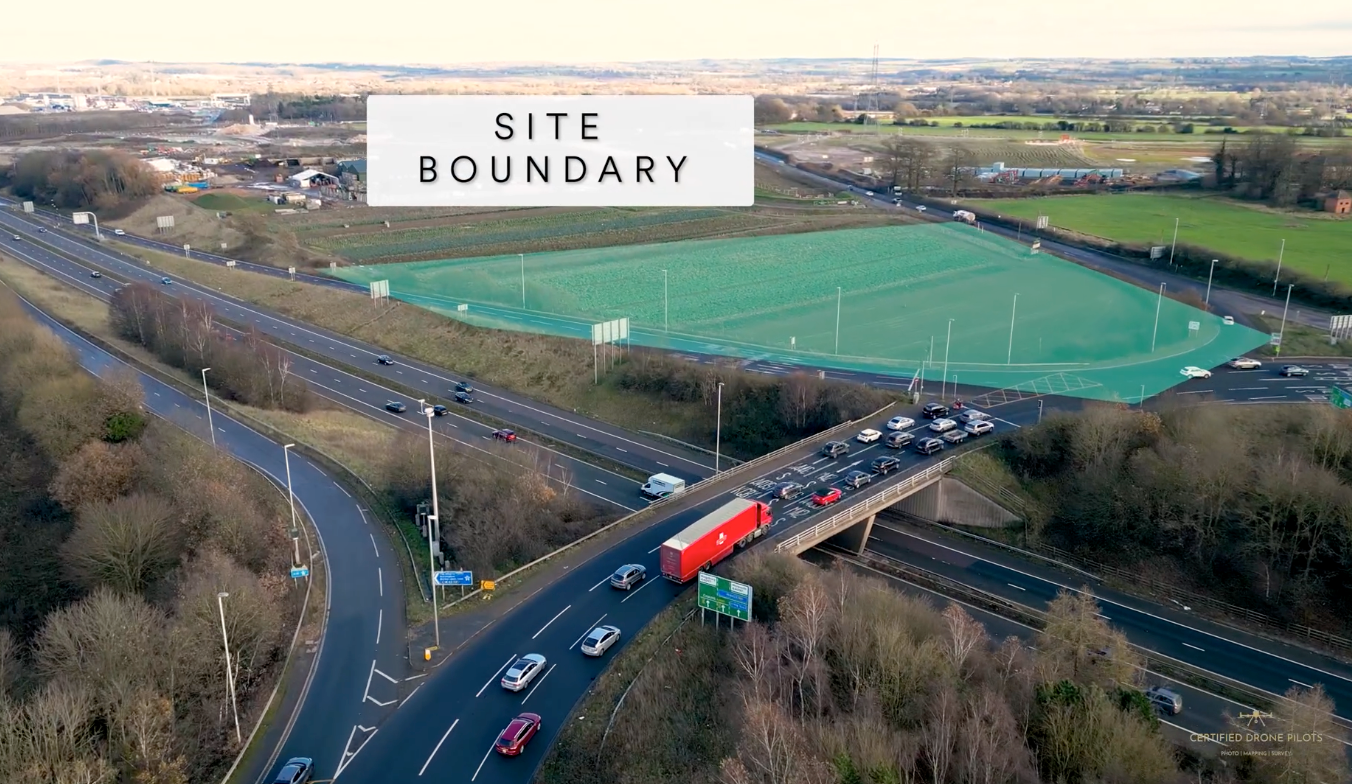
Acquisition & Board Presentation Media
Structured aerial visuals, annotated overlays and contextual imagery designed specifically for internal planning reviews, investor presentations and acquisition approvals.
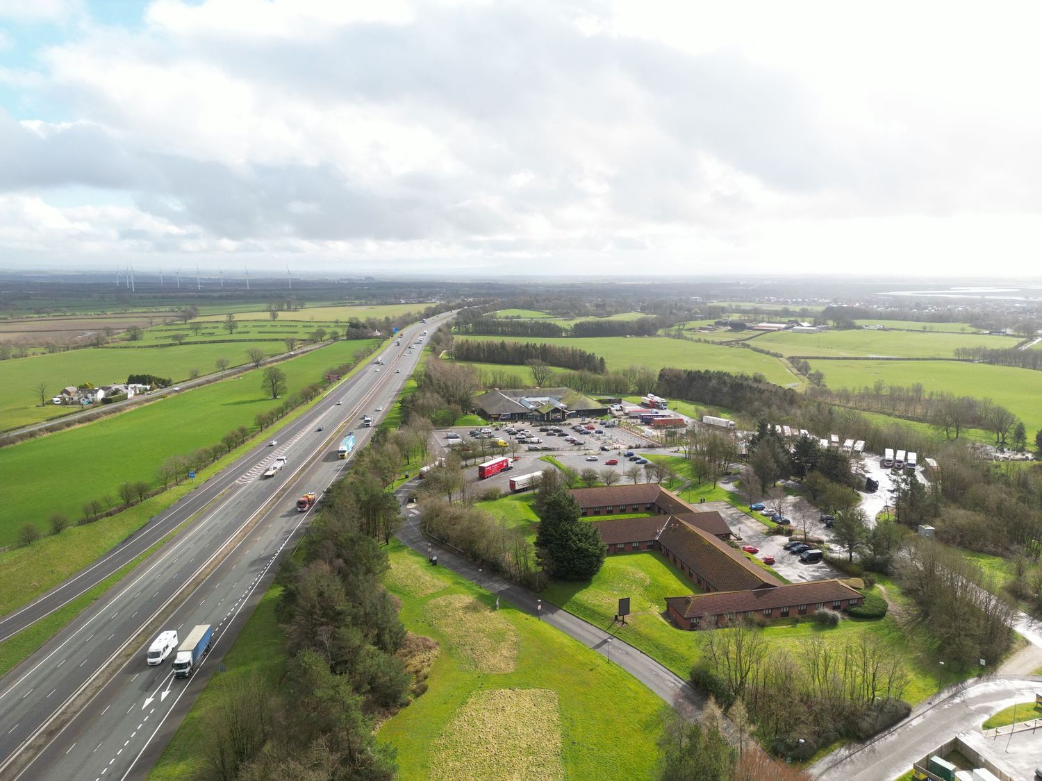
Rapid Nationwide Deployment
With three GVC Remote Pilots and a structured compliance workflow, we can support multi-site acquisition pipelines with a consistent 48-hour turnaround available subject to scope, permissions and operational feasibility.

Structured drone capture for planning acquisition teams, delivering clear site intelligence for board-level decision making

Phone: 0116 271 9993

James - Data & Verification / Mapping