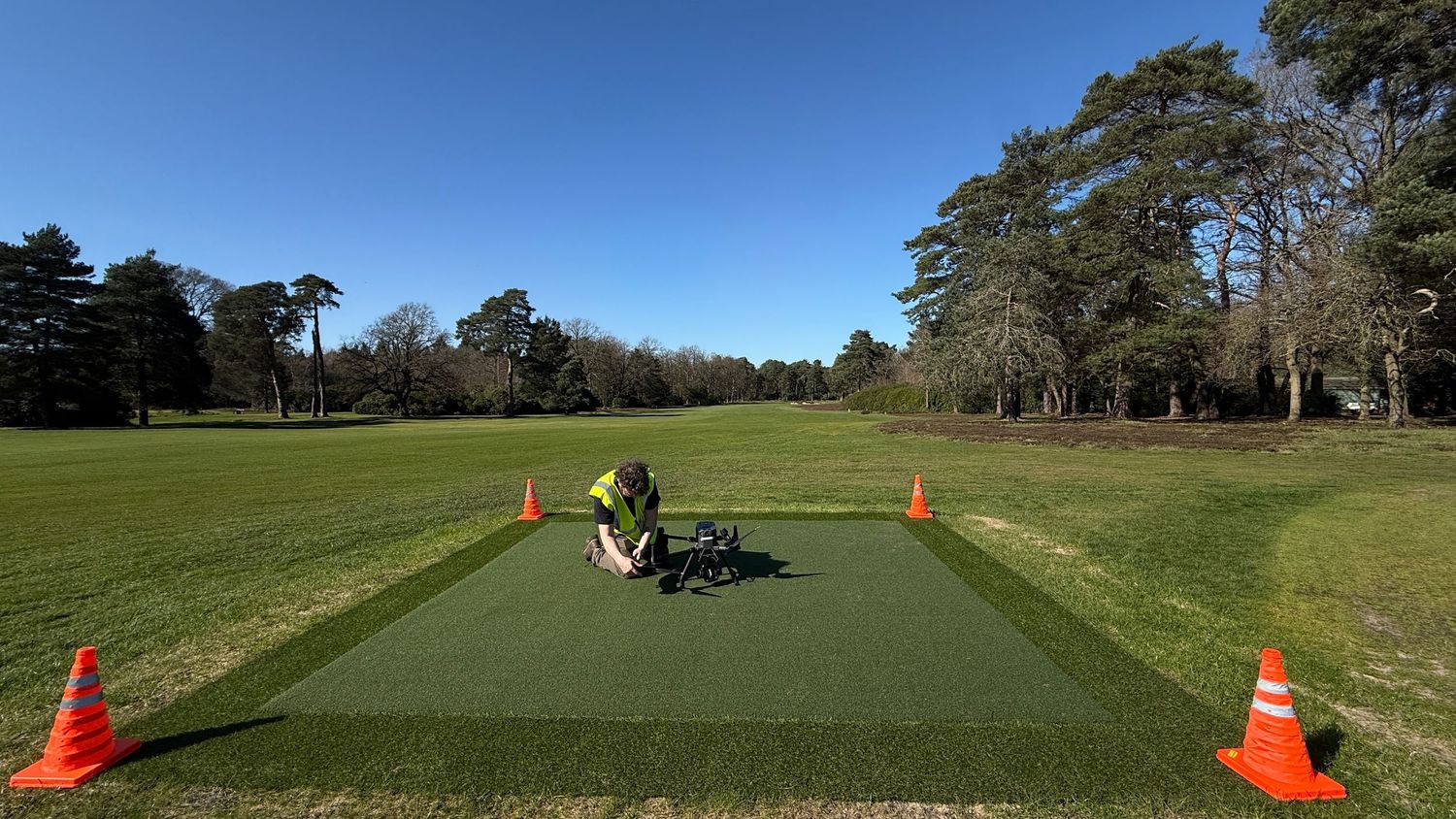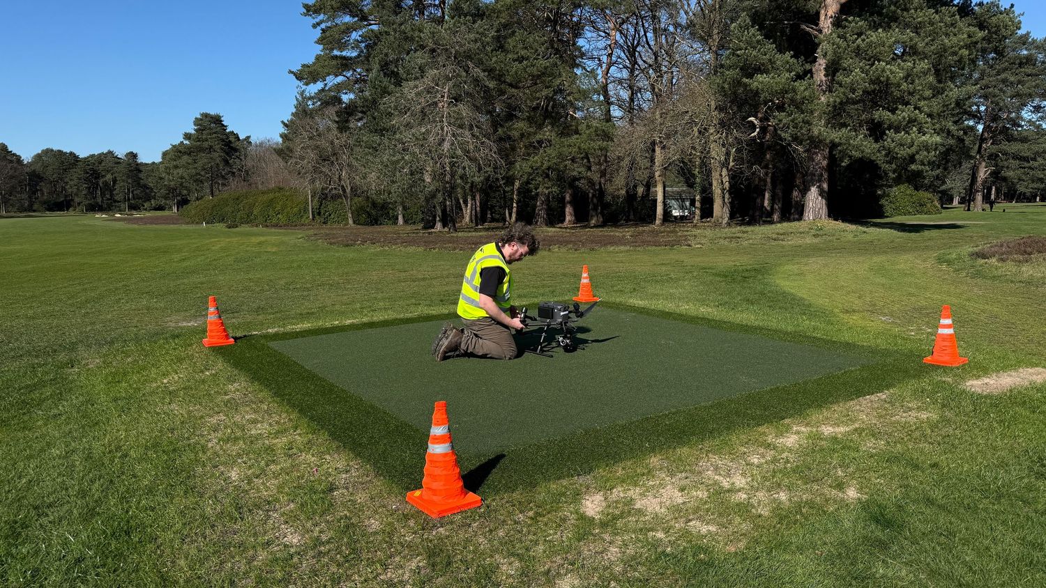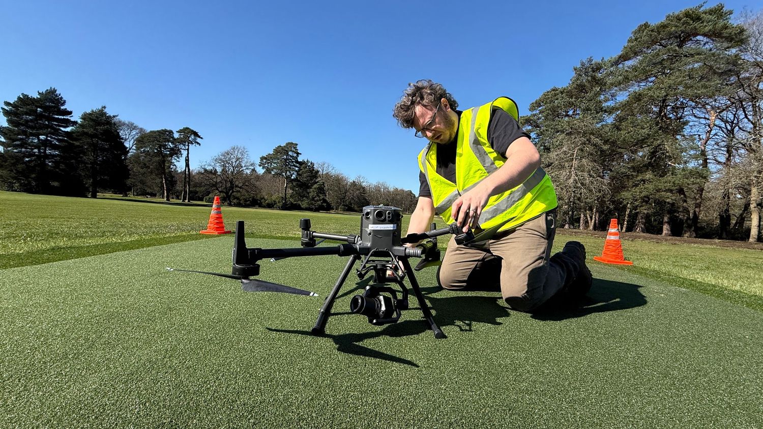
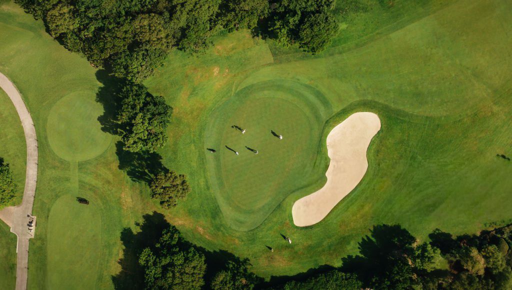
Aerial view of a lush green golf course featuring a sand bunker, fairway, and surrounding trees.

Proportionate Evidence Journey

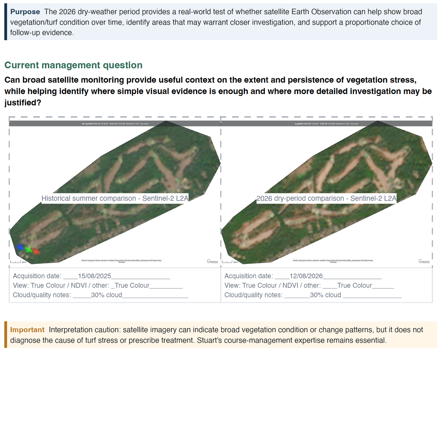
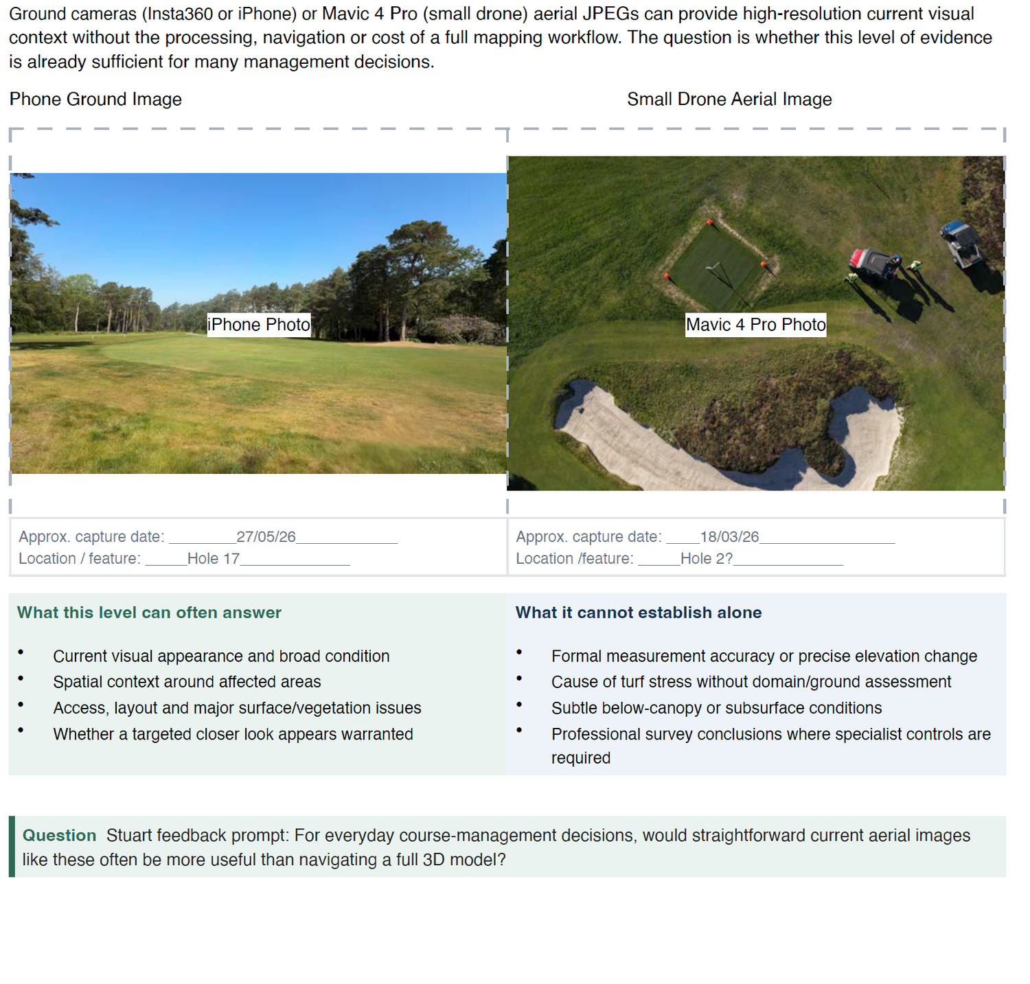
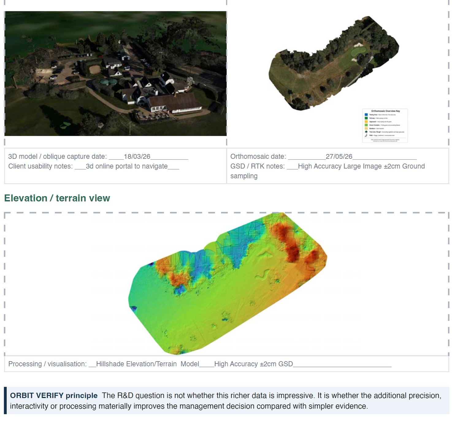
Can broad monitoring help identify where straightforward aerial evidence is sufficient and where more detailed mapping adds genuine management value?

Year-on-year comparison | whole-course context | selective 3D

WHAT THIS EXPERIENCE DEMONSTRATED


Customer learning: more sophisticated data is not necessarily more useful. A land manager may prefer a

simple, decision-focused output unless richer evidence materially changes the action.


INFORMING CDP ORBIT VERIFY


This case helps ORBIT VERIFY test usability as well as sensing: not just what can be measured, but what

level of evidence a non-specialist decision-maker actually needs.


Explore CDP ORBIT VERIFY →
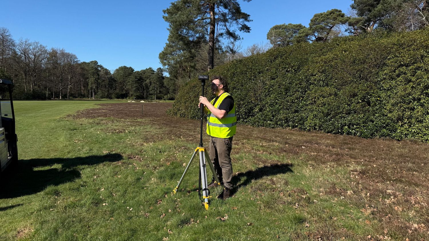
Surveyor in high-visibility vest using a tripod instrument on a green field surrounded by trees and hedges.
Golf course worker maintaining artificial turf driving range mat surrounded by orange cones on sunny day.
Drone operator in hi-vis vest kneeling on artificial turf landing pad marked with orange safety cones in a park.
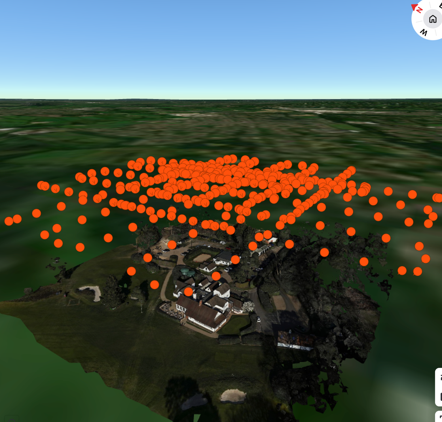
https://app.one3d.ai/twins/59528?invcode=qHH36RFH