
Row of technology company logos including Coverdrone and Applegreen Electric displayed in grayscale.

Structured aerial mapping and visualisation supporting early-stage development feasibility and acquisition review.

Overview


This case study demonstrates how aerial site intelligence can support planning teams, acquisition managers and developers when assessing potential commercial development sites.


Using RTK-enabled drone capture and structured visual outputs, the objective was to provide a clear, accurate and easily interpretable view of the site and its surrounding infrastructure — helping stakeholders quickly understand development potential without requiring an initial site visit.
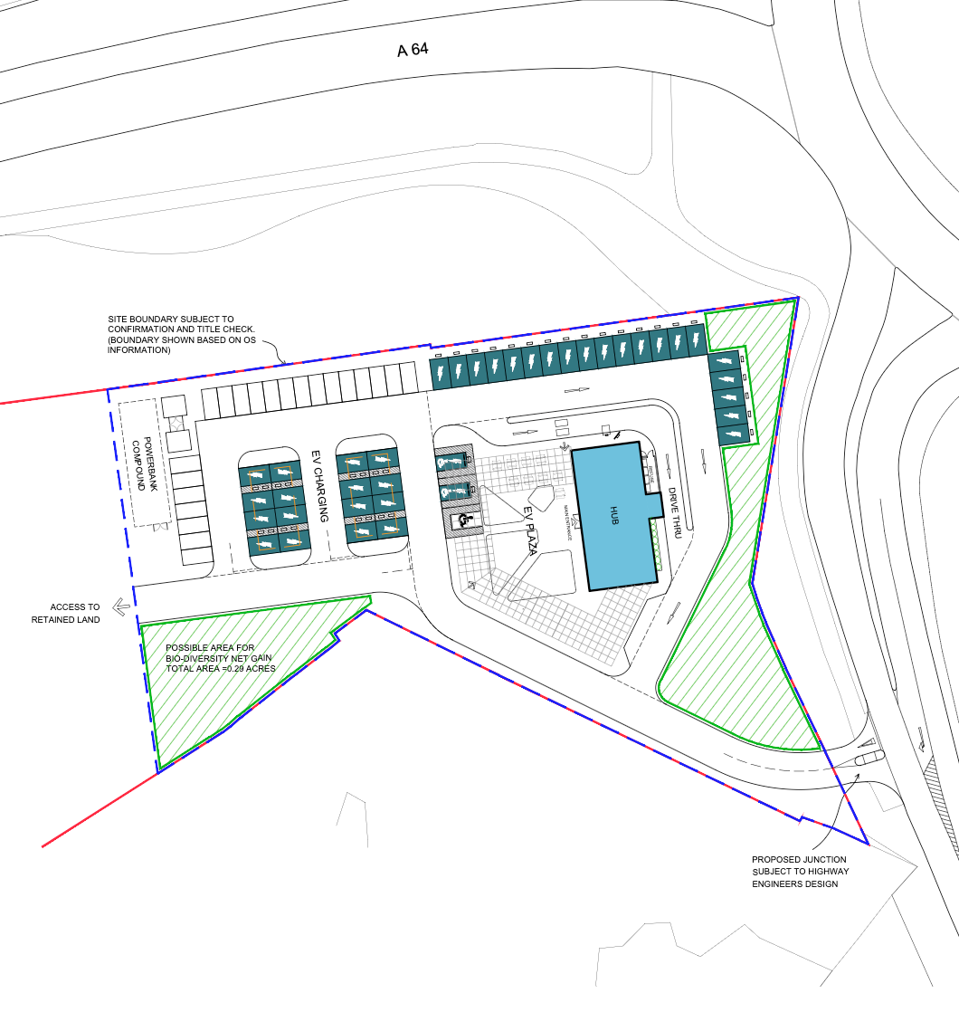
Architectural site plan showing building layouts in blue with surrounding topography lines and property boundaries.

Project Scope

• Proposed commercial development site
• Early-stage planning and acquisition review
• Multi-format aerial capture and mapping

Learn More
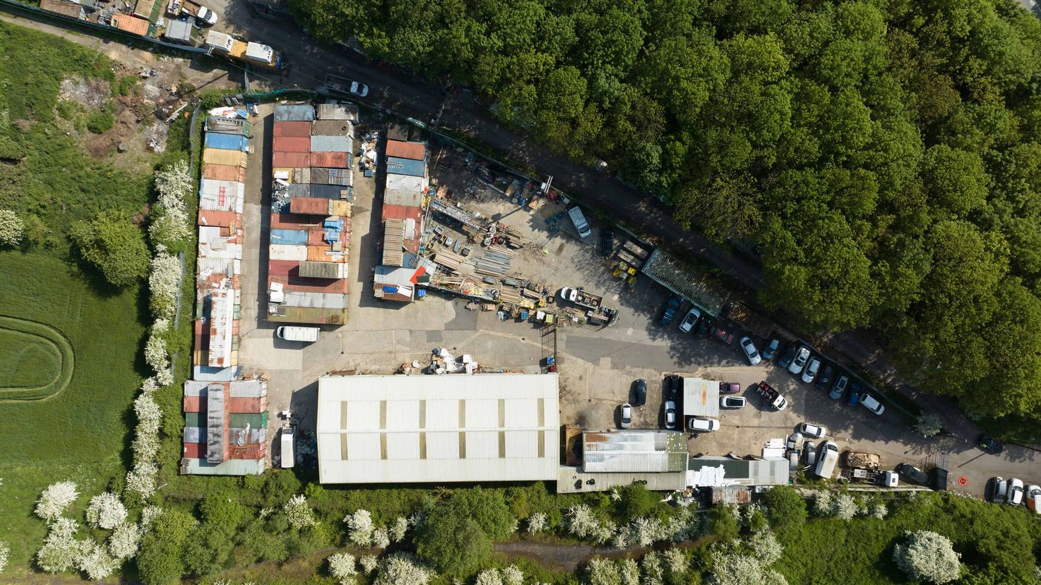
Aerial view of an industrial yard with shipping containers, machinery, and warehouses surrounded by lush green trees.

Key Deliverables

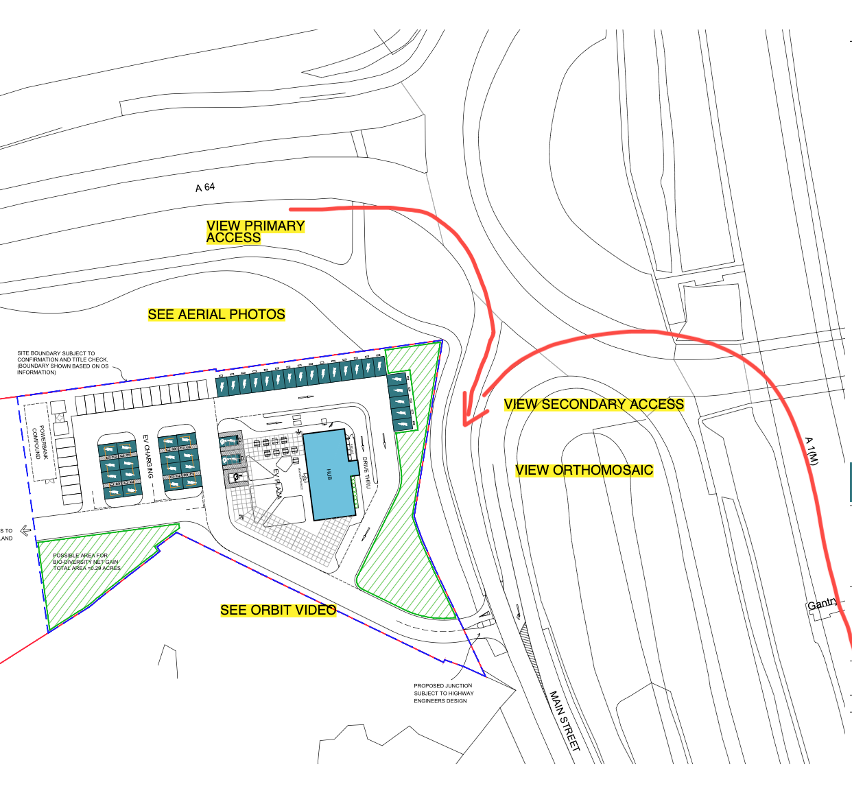
RTK Orthomosaic Site Map

A high-resolution aerial orthomosaic generated using RTK drone technology, providing a precise and detailed base layer for planning discussions.

This enables:
• clear visualisation of site boundaries
• accurate spatial context
• integration into planning workflows if required
ACCESS SURVEY MEASUREMENTS
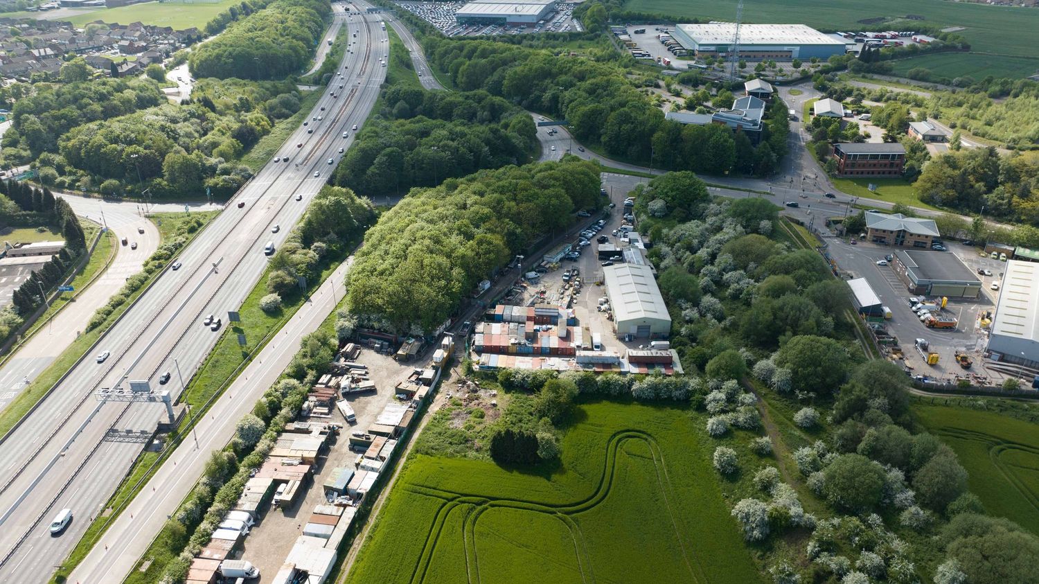
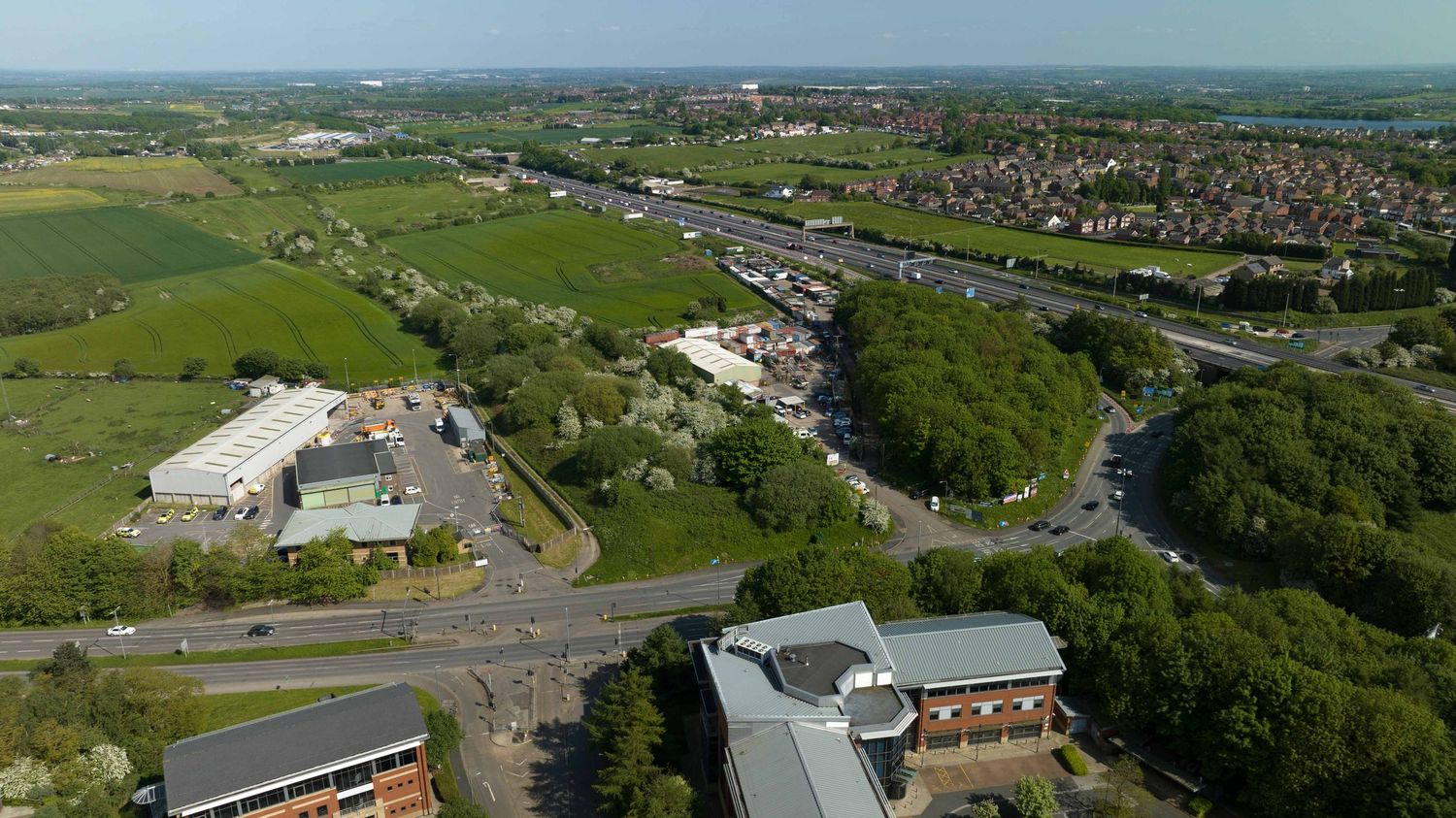
Aerial view of a UK town showing green fields, residential areas, a busy road, and commercial buildings on a clear day.

Aerial Site Orbit Visuals

helping stakeholders understand:

• site positioning
• proximity to key roads and junctions
• surrounding commercial and residential context

Wide-angle semi-orbit aerial footage capturing the full site and surrounding infrastructure.

see Video
Aerial site plan map showing primary and secondary access points, orthomosaic view, and orbit video markers for a commercial property.

Site Context Imagery

Ultra-high-resolution aerial stills providing detailed views of:

• site frontage
• access points
• surrounding land use
• visibility lines

Images are suitable for board-level presentations and internal documentation.

VIEW INTERACTIVE PDF
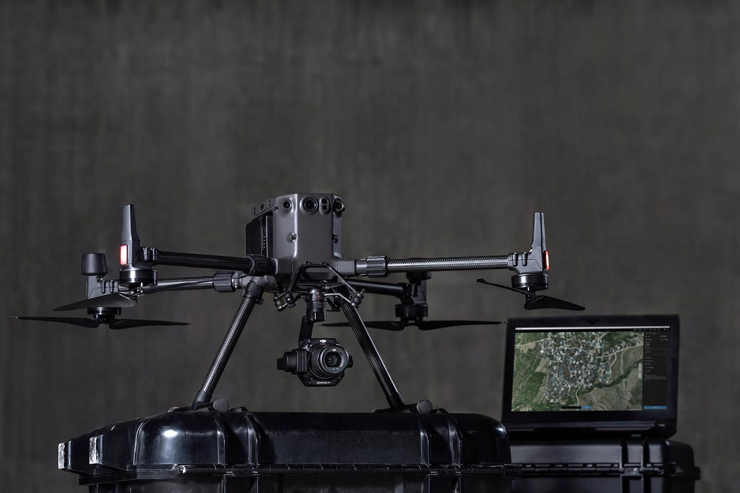
Professional DJI Matrice 300 RTK drone displayed on a case with a monitor showing aerial map footage in a studio.

Workflow

Using Matrice 300 rtk

The site was captured using enterprise RTK drone platforms including the DJI Matrice 300 RTK.
Process included:
• pre-site assessment and flight planning
• RTK aerial mapping capture
• high-resolution imagery acquisition
• structured video capture (orbit and contextual visuals)
• post-processing and organisation for client delivery
All outputs were delivered in a structured format suitable for internal planning review.

Learn More

Outcome


The aerial site intelligence package enabled stakeholders to quickly understand:


• overall site layout and scale

• access routes and surrounding infrastructure

• commercial positioning within the local area


This type of visualisation supports faster decision-making during the early stages of site acquisition and planning feasibility.

Three professional aviation team members pose for headshots on the Operational Leadership and Flight Team page.

Operational Capability

• Multi-pilot deployment
• 48-hour turnaround capability
• Nationwide coverage
• CAA compliant operations
• £10m public liability insurance

Learn More

Supporting developers, infrastructure providers and planning teams with structured aerial site intelligence across the UK.