From aerial capture to site intelligence
Certified Drone Pilots Ltd initially developed around professional aerial imagery and commercial UAS operations. Working across increasingly varied client environments showed us that the real value was often not simply the image itself, but providing the right visual evidence to answer a particular site question. This gradually moved our work from conventional aerial capture towards more structured site documentation, repeatable workflows and decision-focused outputs.
As client requirements became more technical, CDP expanded into RTK-enabled aerial capture, photogrammetry, orthomosaic mapping, 3D reconstruction and relative elevation analysis. These capabilities allowed us to provide more structured spatial information for land, development, property and infrastructure-related projects. GIS-supported workflows and contextual analysis have increasingly become part of how we prepare, interpret and present site evidence.
That progression has also raised a wider question: how much evidence is actually necessary for a particular decision? Some situations may require nothing more than current imagery, while others justify structured aerial mapping, RTK photogrammetry or specialist escalation. This recurring evidence-selection problem is now informing CDP's research into how Earth Observation, local evidence and decision confidence can be brought together more systematically.
Aerial Site Intelligence with Nationwide Deployment
Certified Drone Pilots Ltd
A Leicester-based aerial site intelligence company combining regulated UAS operations, photogrammetry, RTK mapping and GIS-supported workflows for land, development and infrastructure projects.
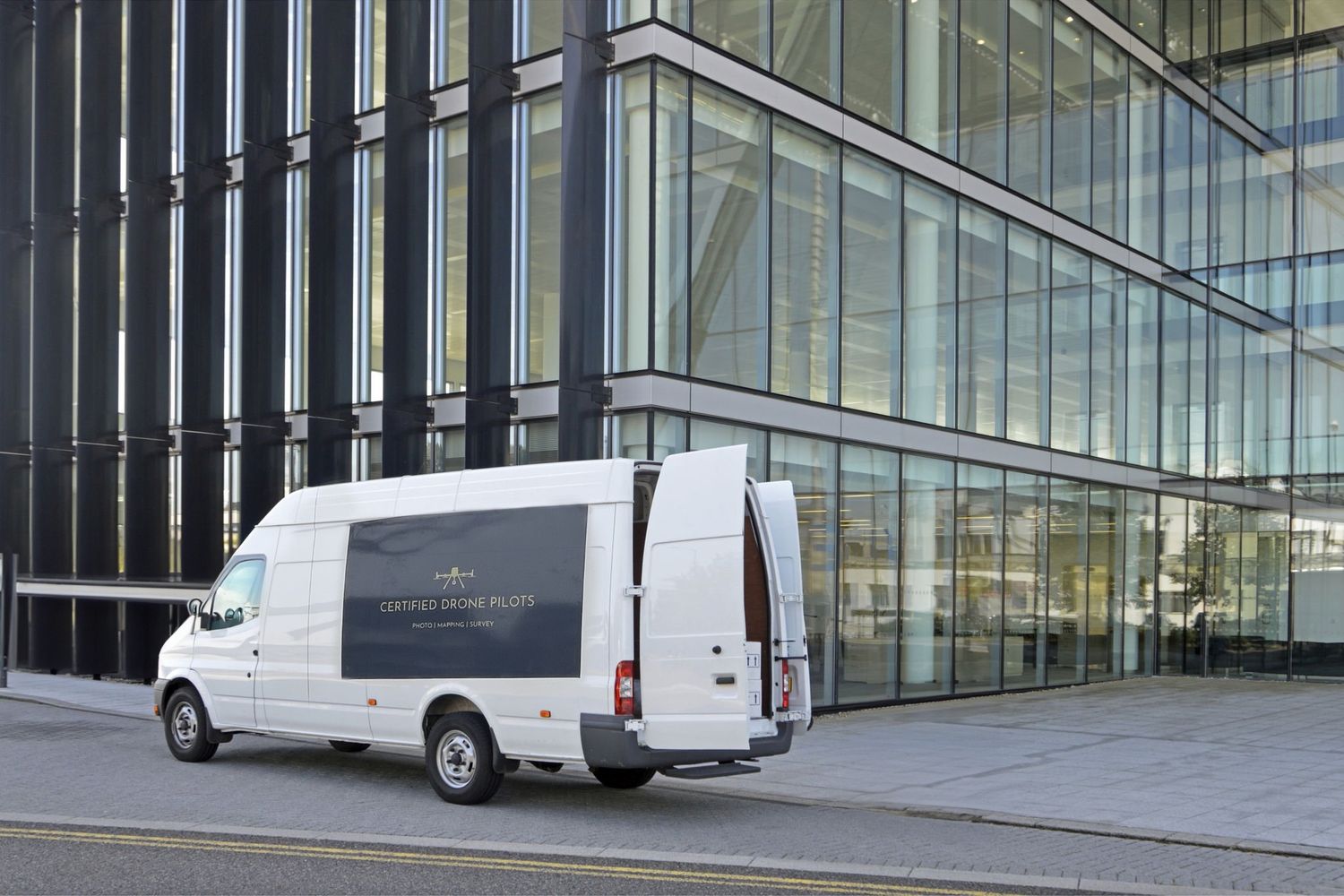
CAA Operational Authorisation
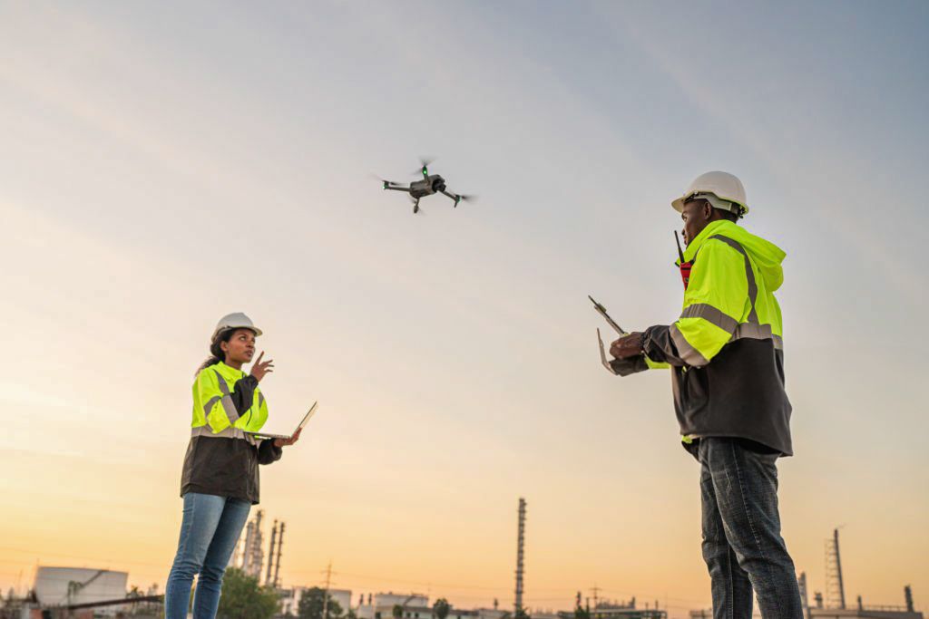
GVC-qualified Remote Pilots
£10m aviation third-party liability
Nationwide deployment
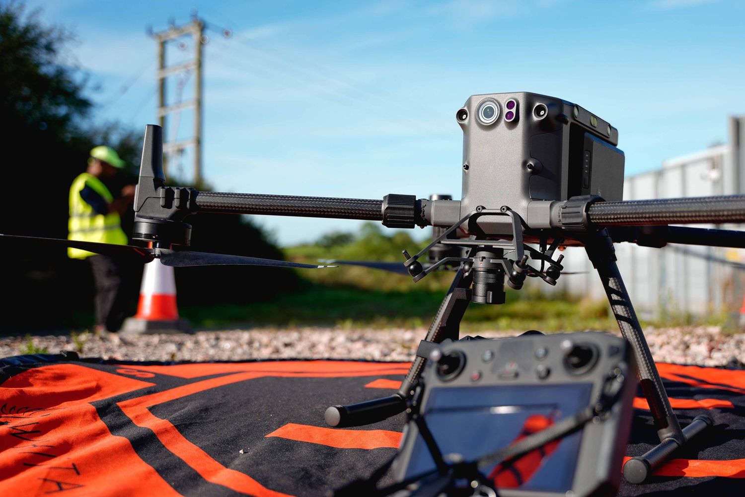
M300 RTK + P1 capability
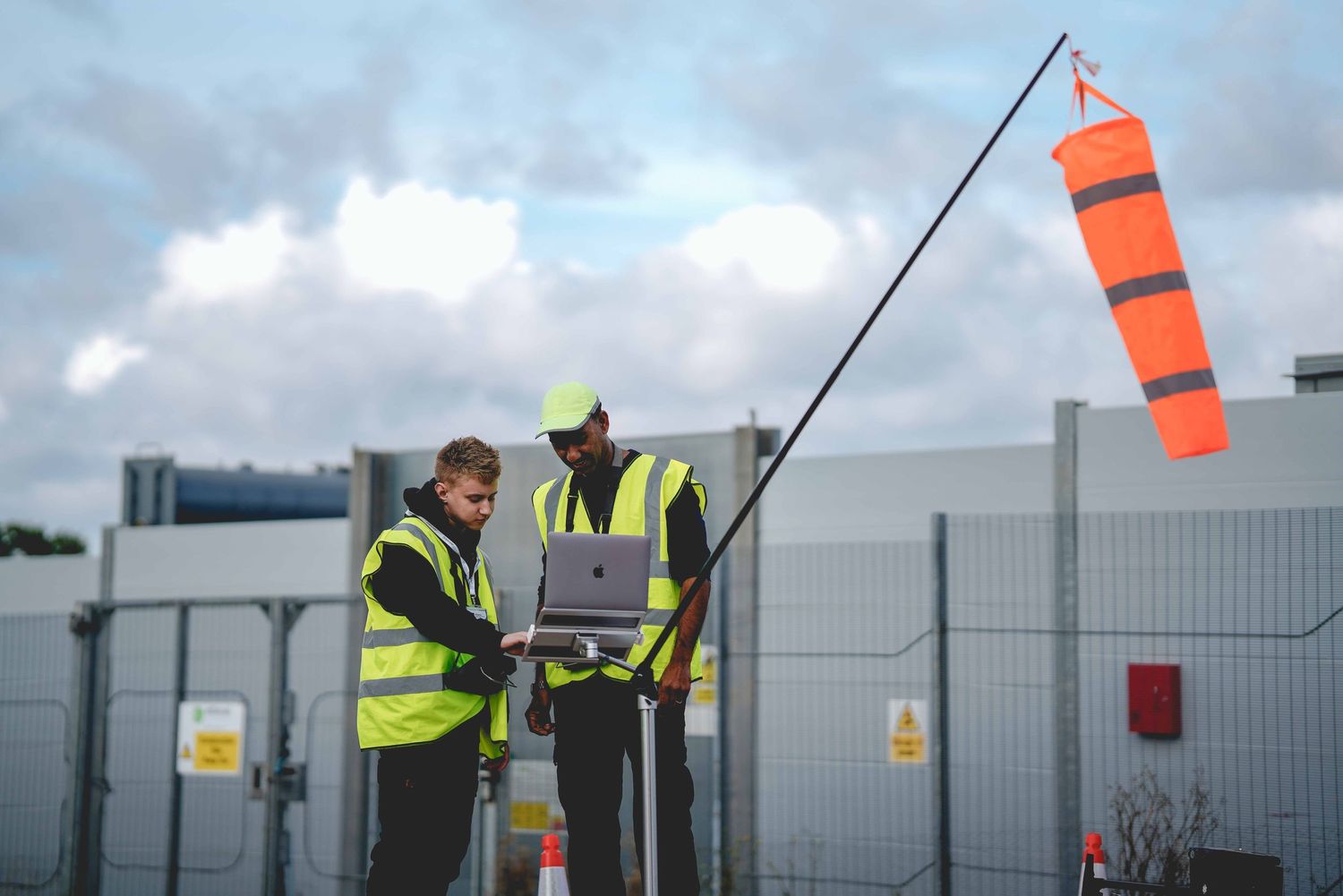
Multi-pilot operating team

Amit Jugessur
Founder & Director | Site Intelligence & StrategyAmit founded Certified Drone Pilots Ltd and leads its commercial strategy, UAS operations, and site-intelligence development. A GVC-qualified Remote Pilot, he delivers aerial and geospatial work across land acquisition, property, and infrastructure.
His focus is on aligning evidence approaches with customer decision needs, and evolving CDP from aerial capture to structured site intelligence and Earth Observation decision support.

James Kenning
Data & Verification | Mapping LeadJames supports CDP's structured mapping, site-evidence and verification workflows.
His background includes analytical and operational roles within the Civil Service and Royal Navy, alongside UAS qualifications and practical mapping experience.
Within CDP, his role includes reviewing datasets, supporting repeatable evidence workflows, assisting with field validation and helping translate site information into clear, decision-focused outputs.

Kamal
Technical Systems & UAS OperationsKamal supports CDP's technical systems, UAS operations and digital delivery workflows.
With an MSc in Computing Systems and commercial drone experience, his role bridges field capture, technology and user-facing delivery.
He contributes to the development of scalable methods for collecting, processing and presenting aerial and site-intelligence information.

Natasha Jugessur
Finance & Business OperationsNatasha supports CDP's financial administration, business operations and internal processes.
Her background in Business and Computer Science, together with finance, audit and quality-related experience, supports the governance and operational structure required as CDP develops from project-based UAS services towards more scalable technology-enabled products.
Innovation & R&D
CDP ORBIT VERIFY
Minimum sufficient evidence. Maximum decision clarity.
CDP is currently developing ORBIT VERIFY, an Earth Observation-enabled R&D concept exploring whether uncertainty, decision relevance and consequence of error can be used to determine what minimum additional evidence is required before a customer acts.
The concept builds on a recurring problem observed across CDP's commercial and validation work: the highest-resolution or most technically sophisticated dataset is not automatically the most useful one.
ORBIT VERIFY is intended to investigate how broad-area Earth Observation can be combined with proportionate local evidence - ranging from simple imagery to structured UAS mapping and specialist escalation — to create a more repeatable, auditable evidence-selection process.
ORBIT VERIFY is currently an R&D-stage concept. It does not replace formal survey, engineering or other regulated professional evidence where these are required.

*Proud Member of Drone Pilots UK
Exceptional Data Insights
Our work goes beyond drone operations—we deliver precise aerial data and actionable insights to support smarter decisions for your projects.
Why clients choose us
- multi-pilot capability
- RTK mapping workflow
- nationwide deployment
- developer-ready reporting
- compliance and structured delivery

Leicester, UK