Progress Monitoring & Site Review
Repeatable aerial evidence for development, construction and land-management projects
Certified Drone Pilots Ltd provides structured progress monitoring and site-review capture for projects that benefit from a consistent visual record over time.
Using repeatable aerial photography, video, orthomosaic mapping and other site-intelligence methods where appropriate, CDP can help clients document visible change, compare project stages and communicate site progress more clearly to internal teams, stakeholders and external partners.
The capture method is selected according to the project question, reporting requirement and level of spatial detail needed.
Why repeatable site monitoring matters
A single site visit provides a snapshot.
A structured monitoring programme provides a timeline.
By returning at agreed intervals and using consistent capture positions, flight plans or mapping parameters where practical, CDP can create a clearer record of how a site changes over time.
This can support:
- construction progress review
- development milestone reporting
- estate and land-management records
- site-condition comparison
- stakeholder communication
- planning and acquisition follow-up
- visual evidence retention
- multi-site programme oversight
A proportionate monitoring approach
Not every monitoring visit needs a full RTK mapping survey.
For some projects, a consistent set of aerial photographs may provide everything required.
For others, the most useful approach may include:
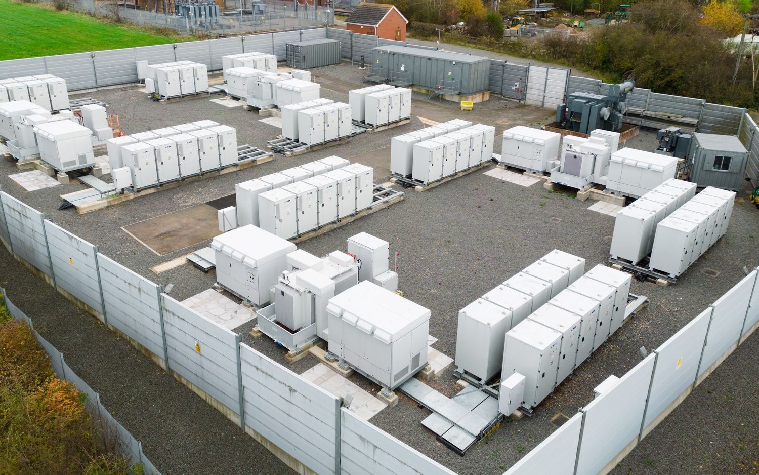
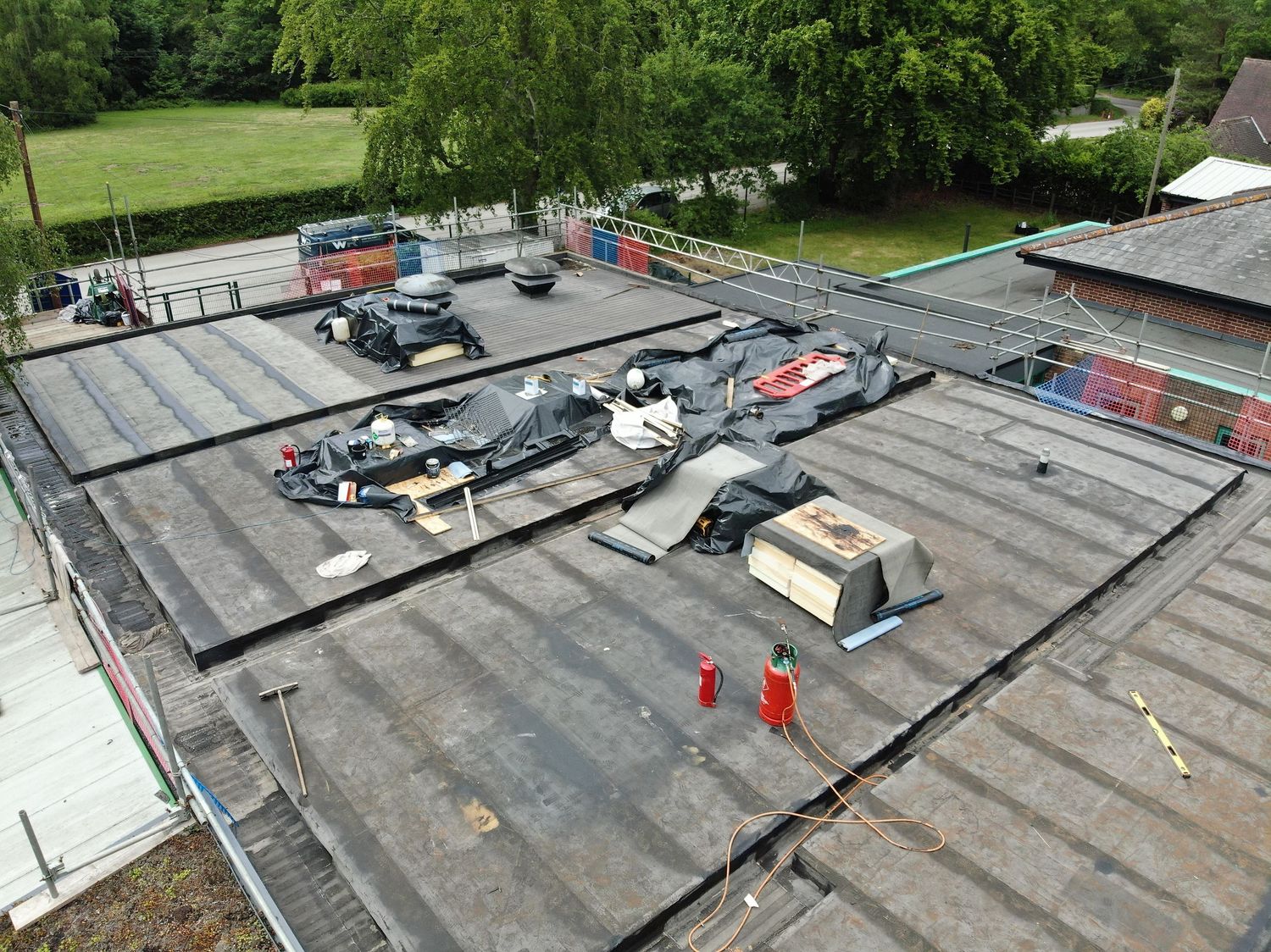
- fixed-viewpoint aerial imagery
- orbital or overview video
- ground-level or POV imagery
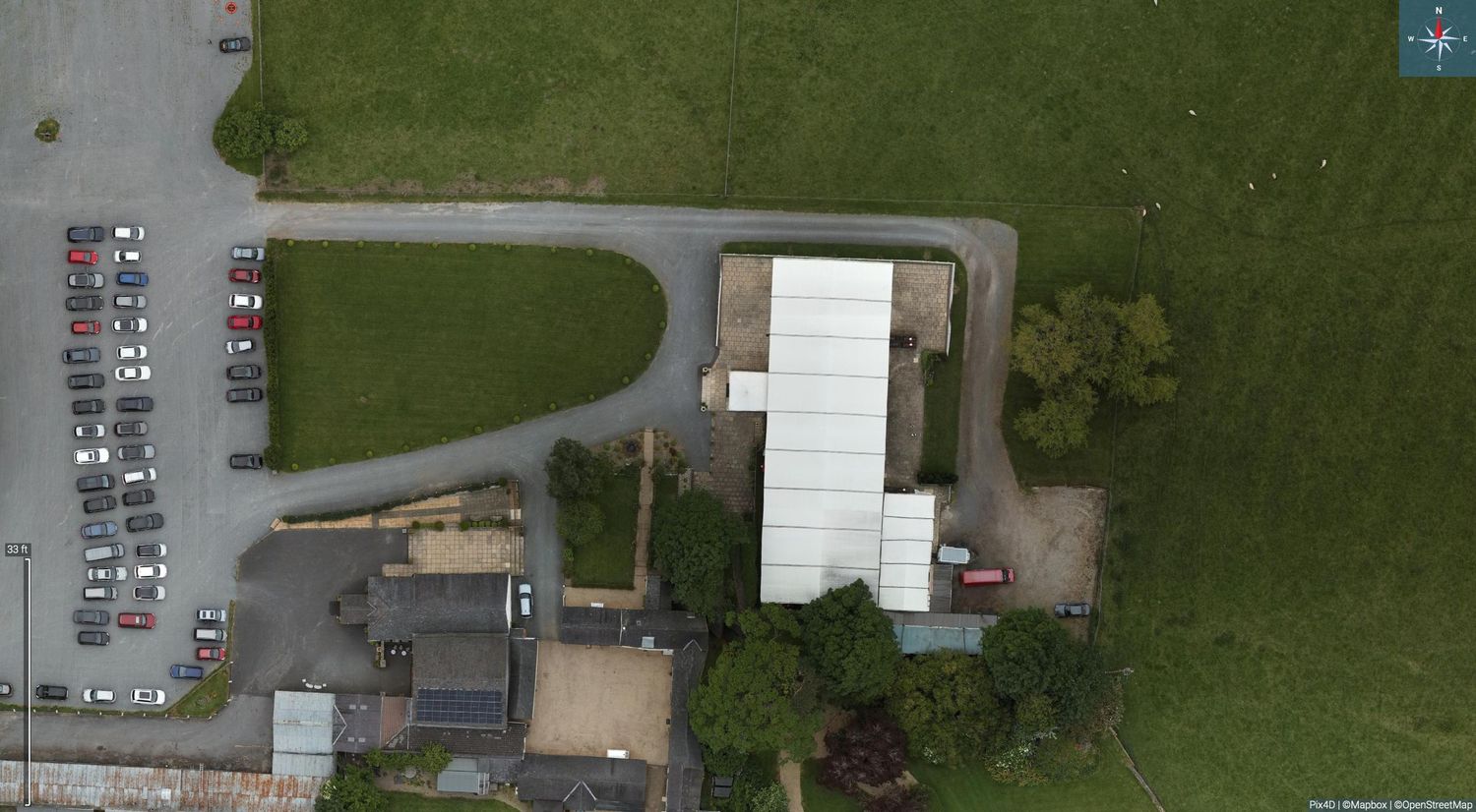
- orthomosaic mapping
- RTK-supported repeat capture
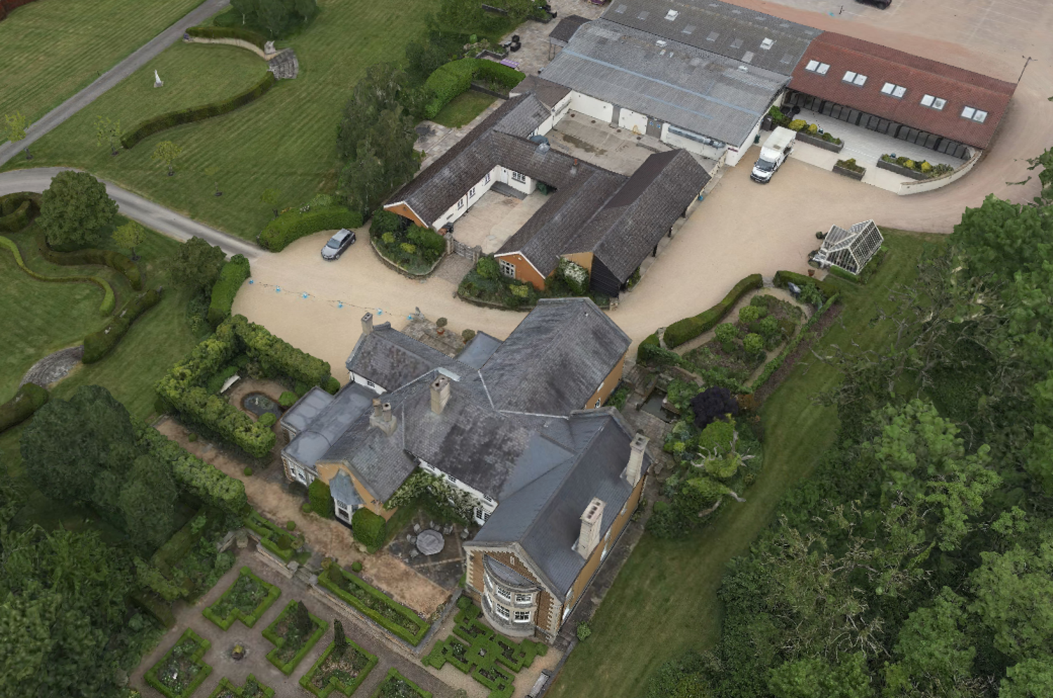
- 3D photogrammetric models
- annotated comparison images
- interactive online delivery
CDP selects the level of capture that is proportionate to the decision or reporting requirement.
Typical applications
Construction Progress
Create a clear visual record of how visible site conditions change across key build stages.
Development Sites
Monitor site preparation, access, visible infrastructure and wider spatial context over time.
Land & Estate Management
Maintain periodic aerial records of land, vegetation, buildings, access routes and other visible site features.
Acquisition & Due Diligence Support
Return to a site where conditions, access, surrounding development or other visible factors may have changed since an earlier review.
Multi-Site Portfolios
Apply a consistent monitoring approach across multiple locations to support centralised reporting and comparison.

*Proud Member of Drone Pilots UK
Repeatable capture
Where appropriate, CDP can plan monitoring visits around consistent:
- flight routes
- camera angles
- capture heights
- viewpoints
- image overlap
- mapping parameters
- areas of interest
This can make comparisons between dates more meaningful and reduce unnecessary variation between datasets.
Repeatability depends on site conditions, airspace, weather, vegetation, access and operational feasibility.
3D Model Photogrammetry - Using Enterprise Level Drone System
Progress comparison
Outputs can be structured to make visible change easier to review.
Depending on the project, this may include:
Before & After Imagery
Matched or similar viewpoints showing visible changes between two dates.
Repeat Orthomosaics
Georeferenced top-down imagery captured at different stages of a project.
Annotated Progress Boards
Selected aerial imagery with key areas, milestones or observations clearly labelled.
Timeline Reporting
A chronological visual record showing how the site has developed across multiple visits.
Interactive Review
Online delivery that allows project teams to explore current imagery, models or mapping remotely.
Monitoring frequency
Capture can be scheduled according to the rhythm of the project.
Typical approaches may include:
- one-off baseline and follow-up
- milestone-based visits
- monthly monitoring
- fortnightly monitoring
- weekly monitoring
- event-triggered visits
- repeat capture following a material site change
The frequency should be driven by the value of the information rather than by a fixed monitoring schedule.
From visual record to site intelligence
Progress monitoring is most useful when the output supports a clear question.
For example:
- Has a visible site condition changed?
- Has construction reached the expected stage?
- Has access or surrounding context changed?
- Does the current evidence justify a more detailed inspection?
- Is a new mapping dataset actually required?
In many cases, simple repeat imagery is sufficient.
Where a question requires greater spatial structure, CDP can escalate to orthomosaic mapping, RTK-supported photogrammetry or another appropriate evidence method.
Example workflow
1. Define the monitoring question
Agree what the client needs to observe, compare or report.
2. Establish a baseline
Capture the initial site condition using an appropriate method.
3. Set the repeat method
Define viewpoints, routes, mapping areas or capture parameters where appropriate.
4. Repeat acquisition
Return at agreed intervals or project milestones.
5. Compare & present
Organise imagery, mapping or models to make visible change clear.
6. Escalate where justified
If the monitoring raises a new question, recommend the next appropriate evidence level.
Important limitations
Progress-monitoring imagery records visible site conditions.
It does not by itself establish:
- structural integrity
- hidden defects
- drainage performance
- geotechnical condition
- legal boundaries
- engineering compliance
- formal construction certification
Where a specialist professional assessment is required, CDP's outputs should be treated as supporting evidence rather than a substitute for that assessment.
Discuss a Monitoring Requirement
If you have a development, construction, estate or land-management project and need a repeatable visual record over time, we can help define an appropriate monitoring approach.
Discuss Your Project