Aerial panoramic view of an industrial area with warehouses, buildings and roads stretching to the horizon.
Strategic Data Capture: EV & Roadside Retail

Aerial & Mapping Support for EG On The Move

This private page contains the aerial imagery and video resources captured.
The materials below can be viewed online or downloaded for internal review and presentations.

Request New Site Capture
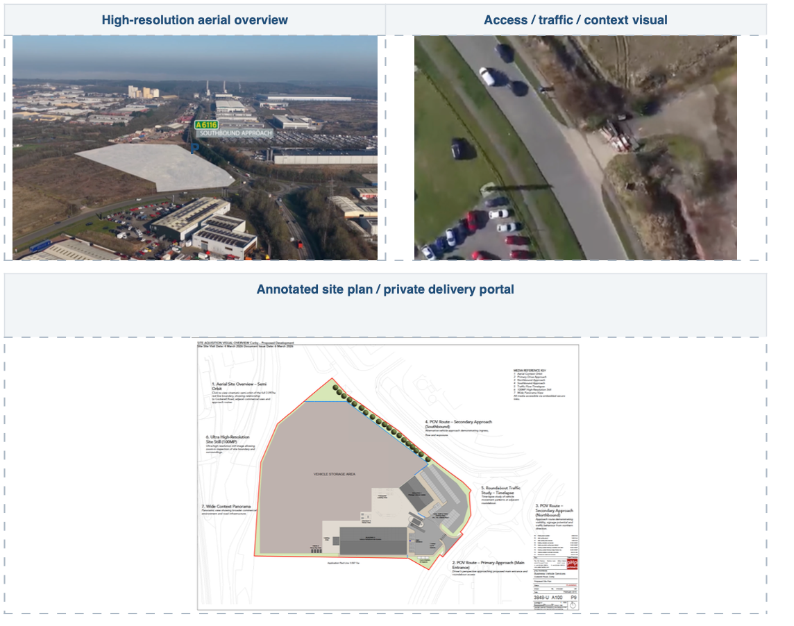
Aerial overview, access road visual, and annotated site plan showing a large industrial or logistics facility with surrounding context.
Phone: 0116 271 9993

Collection of technology company logos arranged in a horizontal row.

VIEW & DOWNLOAD VIDEOS

• Captured using enterprise RTK drone systems
• High-resolution aerial imagery
• Delivered for internal planning and site review


Rapid Nationwide Deployment


With three GVC-qualified Remote Pilots and a structured compliance workflow, we can support multi-site acquisition pipelines with a consistent 48-hour turnaround.



Three professional aviation team members pose confidently for an operational leadership and flight team photo.

Aerial Site Visualisation


High-resolution drone imagery and cinematic orbit visuals designed to clearly communicate site context, access points and surrounding infrastructure for planning presentations.
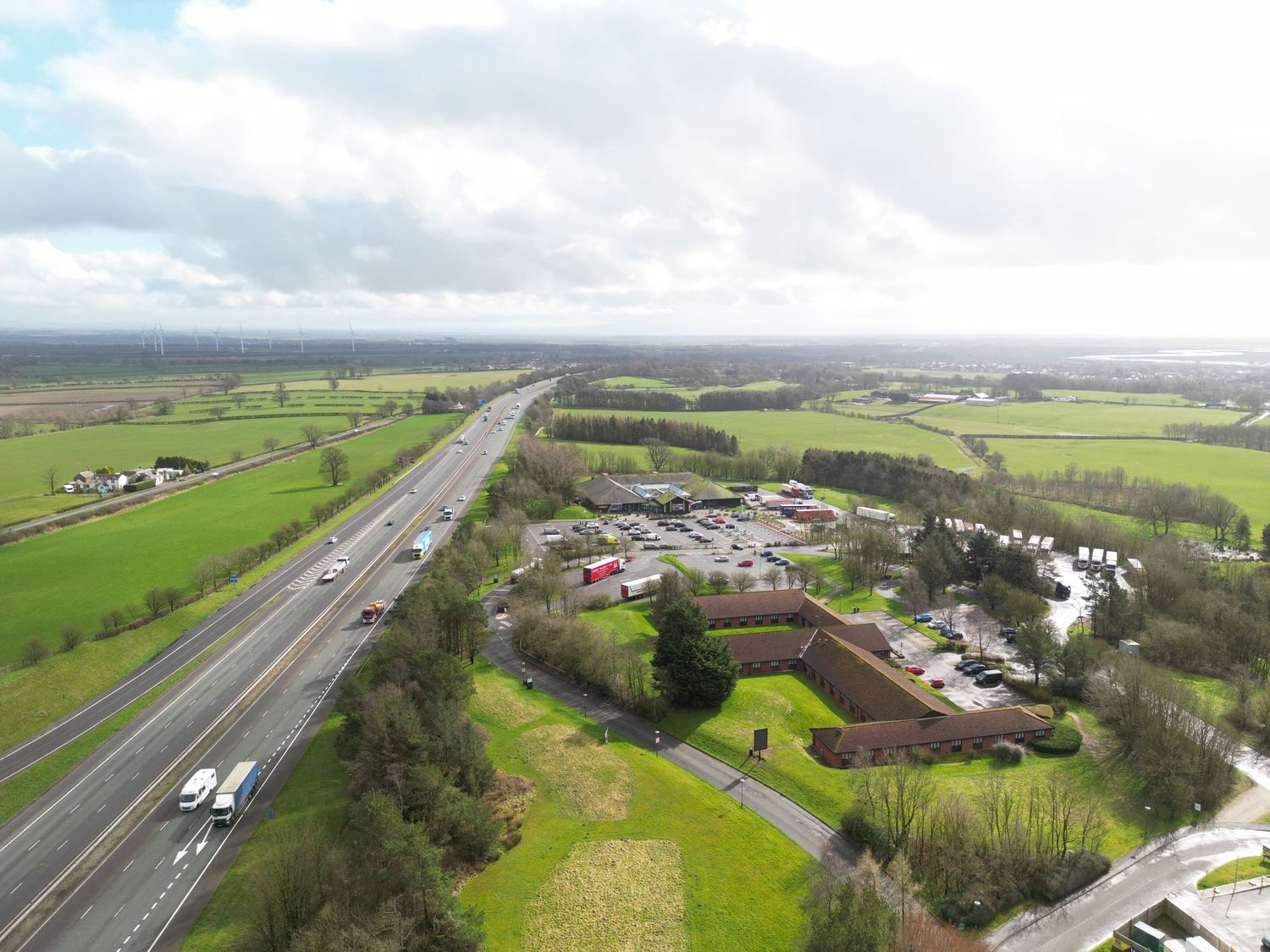


Aerial drone view of a motorway with green fields and a roadside service area under cloudy skies in rural Ireland.

Acquisition & Board Presentation Media


Structured aerial visuals, annotated overlays and contextual imagery designed specifically for internal planning reviews, investor presentations and acquisition approvals.
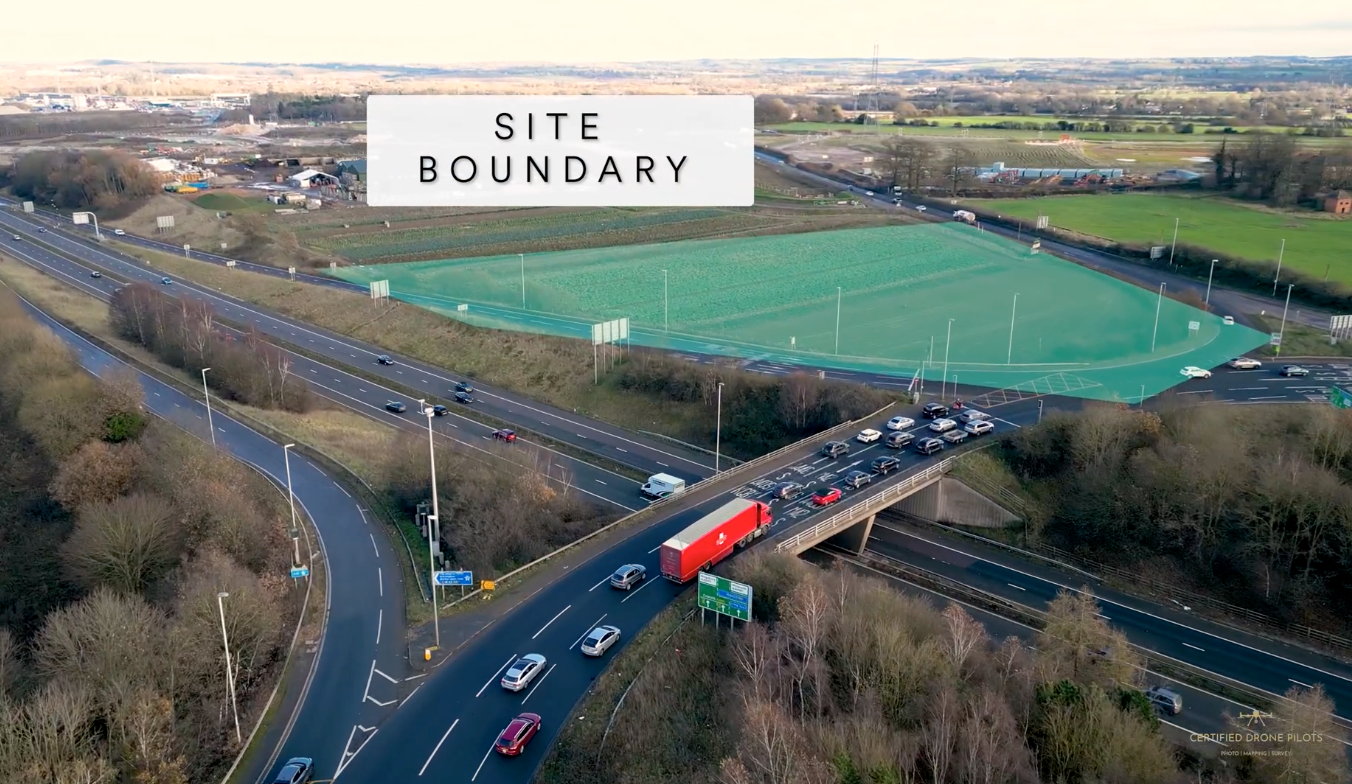


Aerial view of a site boundary near a busy road junction with green sports pitches and trees in the background.

Traffic Flow & Access Routes


POV route captures and traffic time-lapse visuals helping stakeholders understand approach routes, junction visibility and vehicle flow surrounding proposed developments.
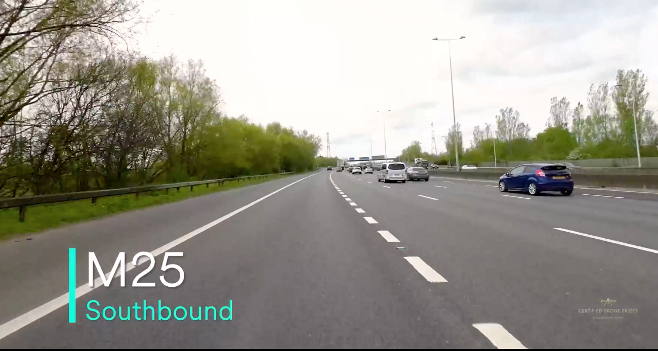

Dashcam view of M25 motorway southbound with light traffic on a clear day, lined with green trees.
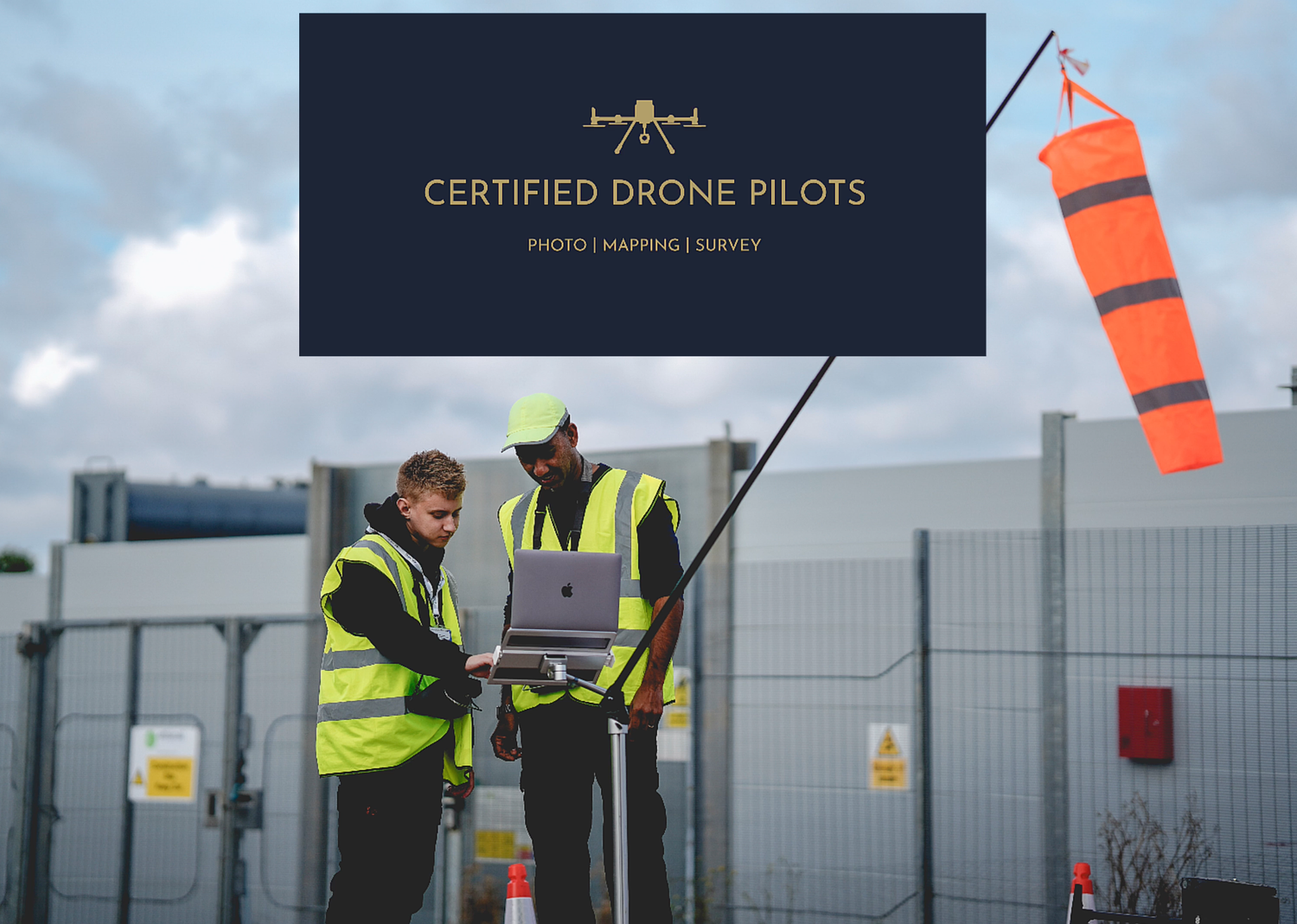
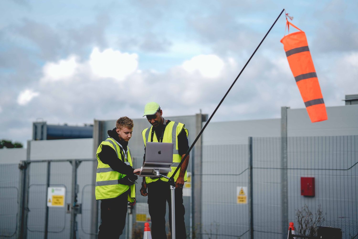
Two certified drone pilots in hi-vis vests review survey data on a laptop at an industrial site with a wind sock visible.

Safety, Compliance & Operational Standards

Compliance

• £10m Public Liability Insurance
• CAA compliant operations manual
• GVC-qualified Remote Pilots
• Full airspace notification and permissions handled
• Pre-site hazard assessment & safety reporting

Learn More

Supporting national infrastructure operators with compliant, high-quality aerial capture.

Collection of drone safety and certification logos arranged in a horizontal row.

Applegreen Electric EV hubs examples

Pulse Green battery site examples

Row of technology company logos including Lighthouse and Electric displayed in grayscale.

Nationwide Reach


Based in Leicester, Certified Drone Pilots brings extensive experience and a reputation for delivering reliable, high-quality drone services across the UK, no matter your project location.
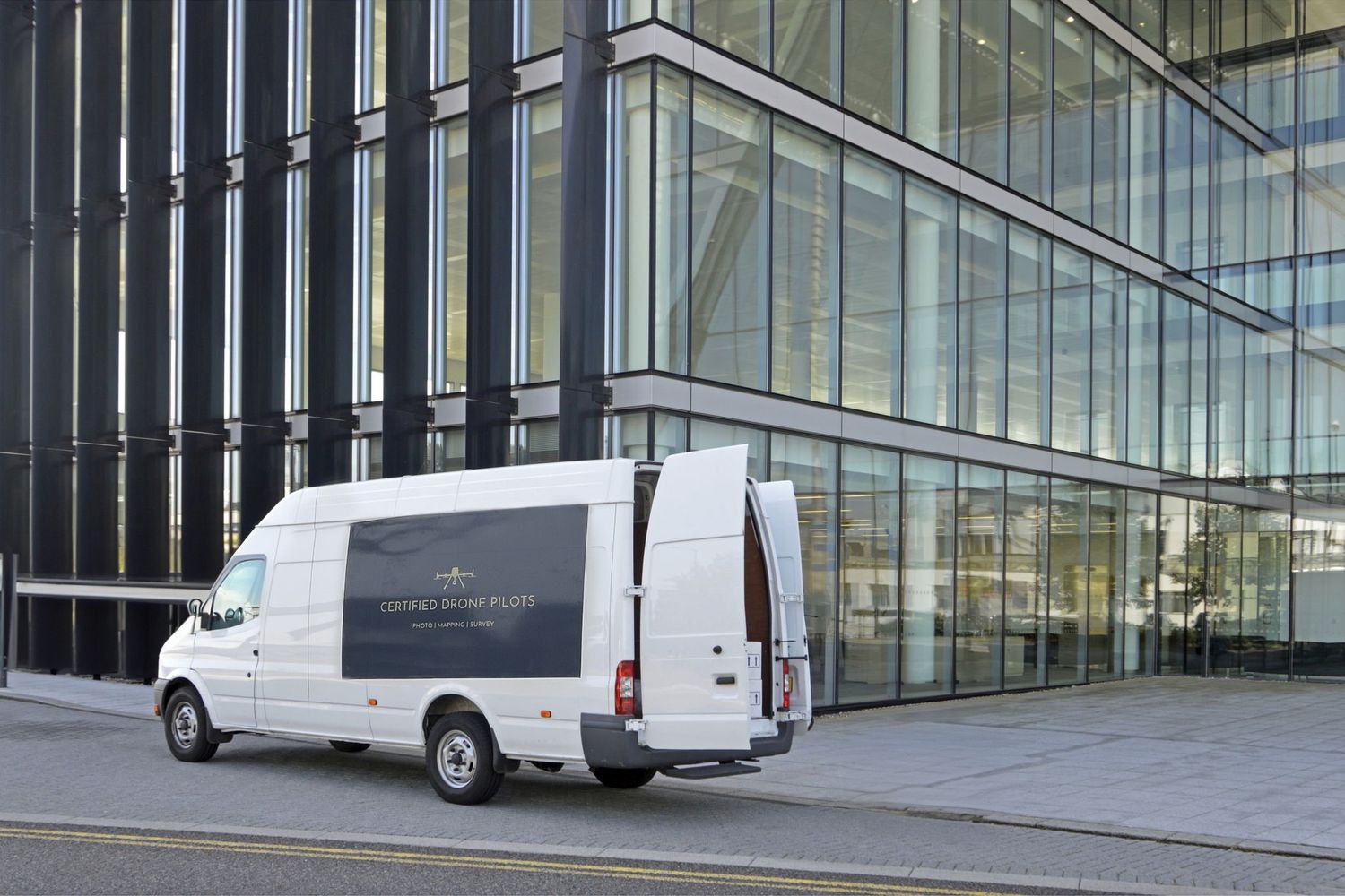
White delivery van parked in front of modern glass office building facade.

*Centralised Office in Leicester

A golf cart on a sunny lawn creates multiple silhouettes during a golden hour photo session.

James - GVC-qualified Remote Pilot

Meet AMIT | founder

Exceptional Data Insights


Our work goes beyond drone operations—we deliver precise aerial data and actionable insights to support smarter decisions for your projects.
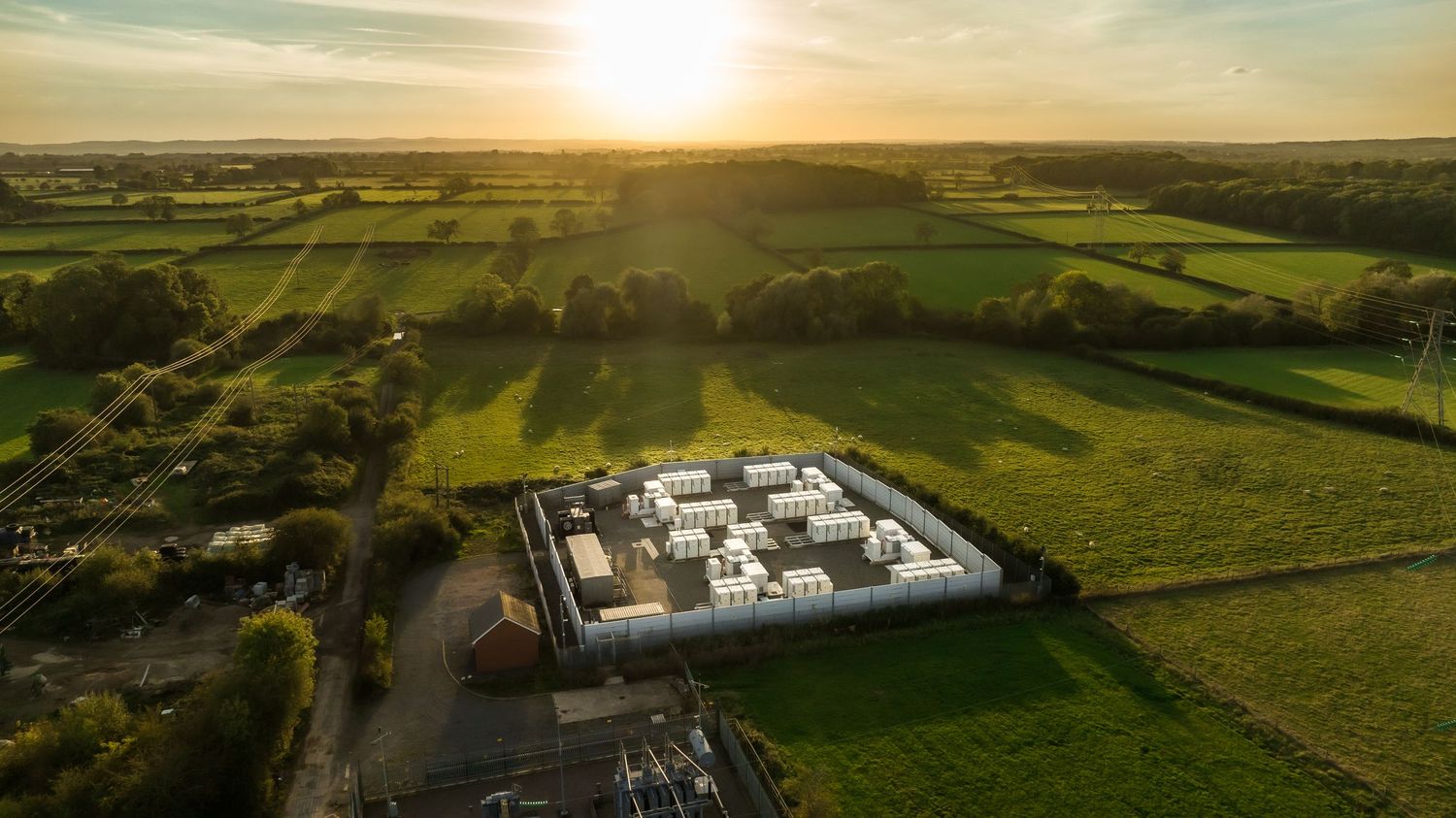

Aerial panoramic view of rolling green farmland and buildings during golden sunset with dramatic sky.

*Captured using 100 megapixel Hasselblad Sensor - Mavic 4 Pro - Copyrights: CERTIFIED DRONE PILOTS LTD

What Sets us Apart?

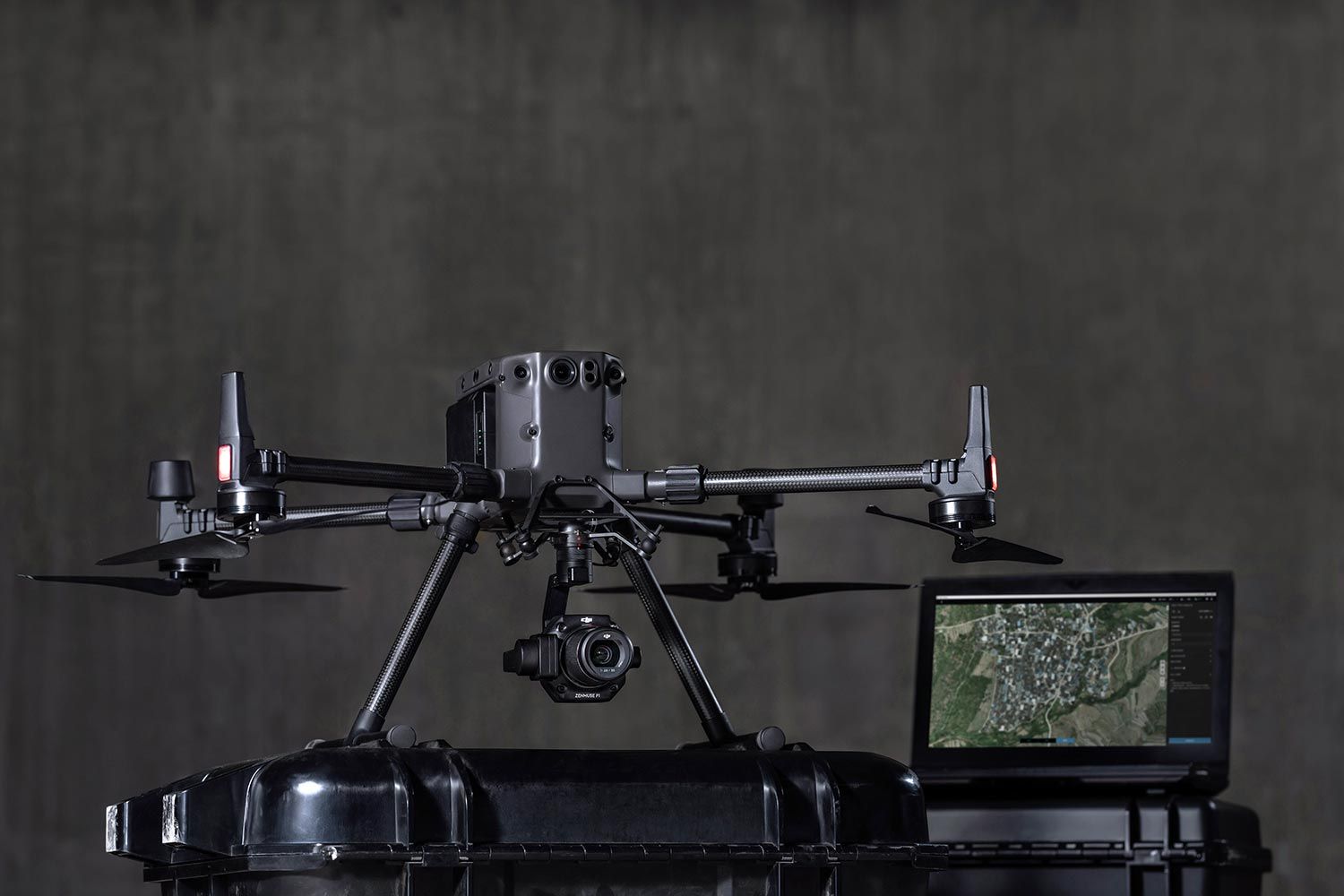
We rely on the Zenmuse P1 Camera System (image below), featuring a full-frame sensor for unmatched accuracy and long-term value, delivering centimetre-level precision and exceptional rendering for any project.
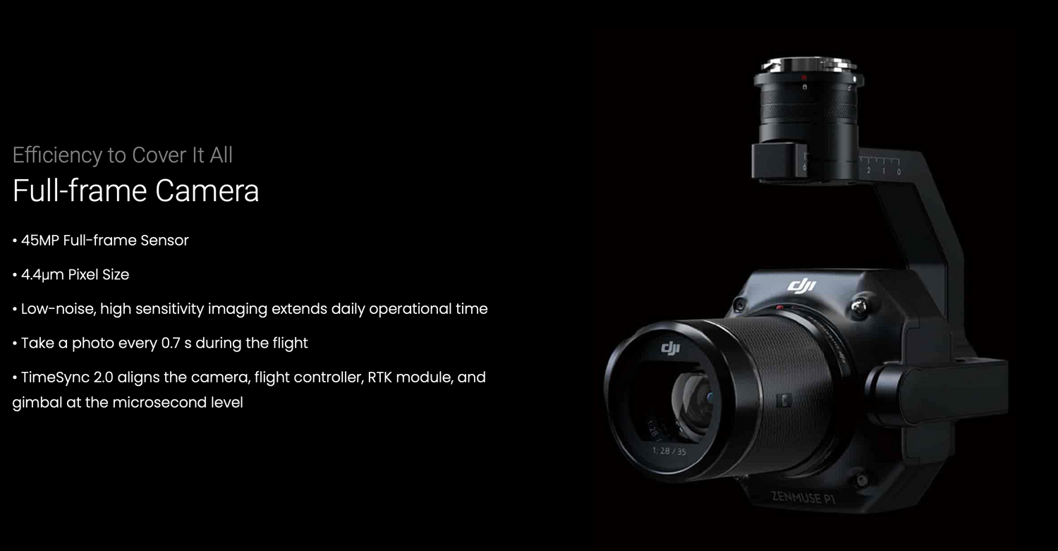

Professional drone camera with gimbal mount against dark background.
Professional studio portrait of a person in a gray three-piece suit with a black shirt against a brown background.

CEO

Amit - founder of Certified Drone Pilots

Founder Amit Jugessur, transitioned from optics to a passion for integrating visual technology with creativity.

He co-founded The Directors Cut Cinema Ltd, now a self-sustaining business for the past decade. Amit's journey led him to the drone industry, where he became a qualified pilot, holding a GVC License.

Now at the helm of Certified Drone Pilots, he not only flies drones professionally but also trains pilots to conduct high-quality surveys and mapping projects.
Our services
Workers in high-visibility vests checking wind conditions with an orange windsock.
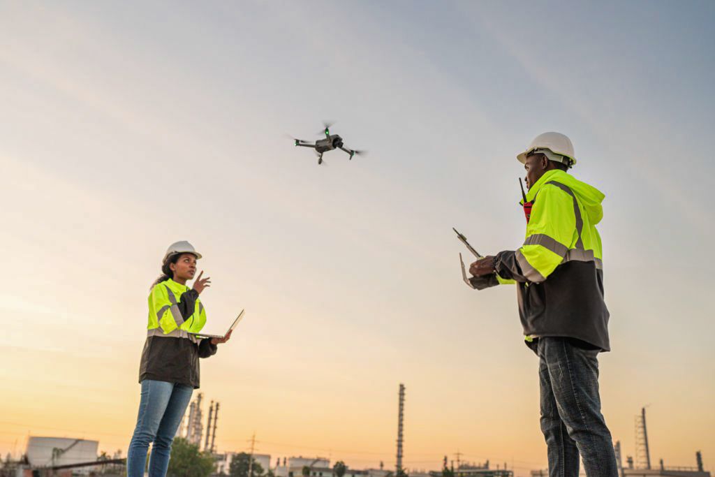
Two workers in safety vests operating a drone during sunset at industrial site.
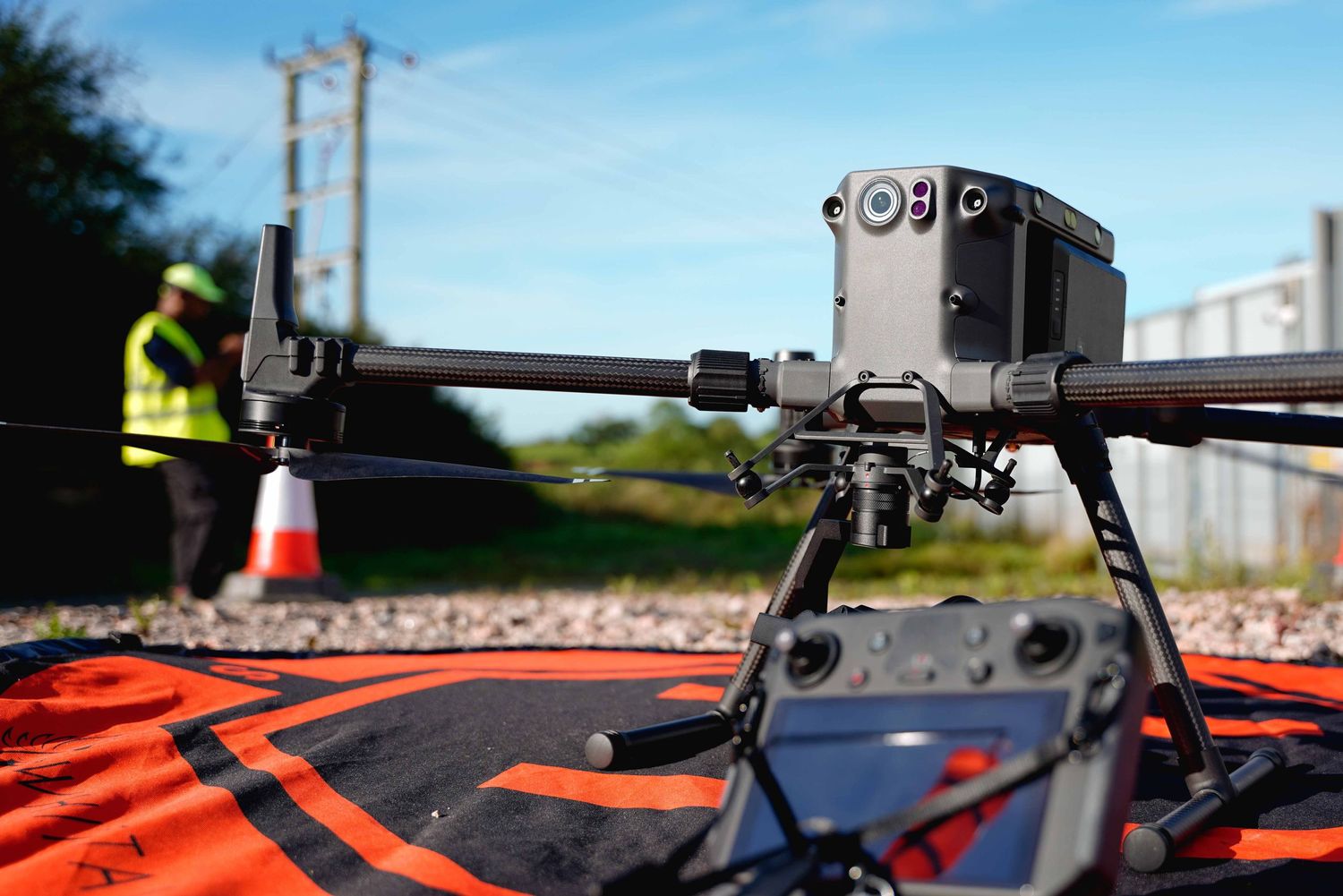
Close-up of a professional drone camera mounted on equipment with orange safety markers visible.
Professional drone services advertisement showcasing aerial surveys, roof inspections, construction and thermal imaging capabilities.
Professional black drone with camera and navigation screen setup against dark background.

1 / 3

" Great professional service from Amit and the team. We have some beautiful aerial shots. Would really recommend using them "

ashika thakrar

1 / 3

" Thank you for sharing these fantastic aerial photos! They are truly impressive and greatly appreciated. "

adrian fundureano

1 / 3

" I was very impressed with the professional aerial reports from this company. From the initial site visit to the final outcome, it’s reassuring to have a reliable aerial service that meets all our needs. Much appreciated. "

Laurynas vasiliauskas

1 / 3


Leicester, UK

TESTIMONIALS