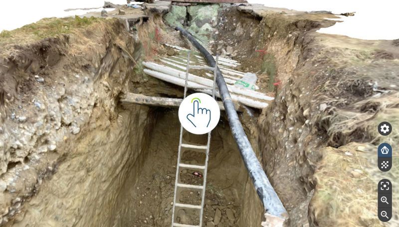
3D Mapping | Photogrammetry

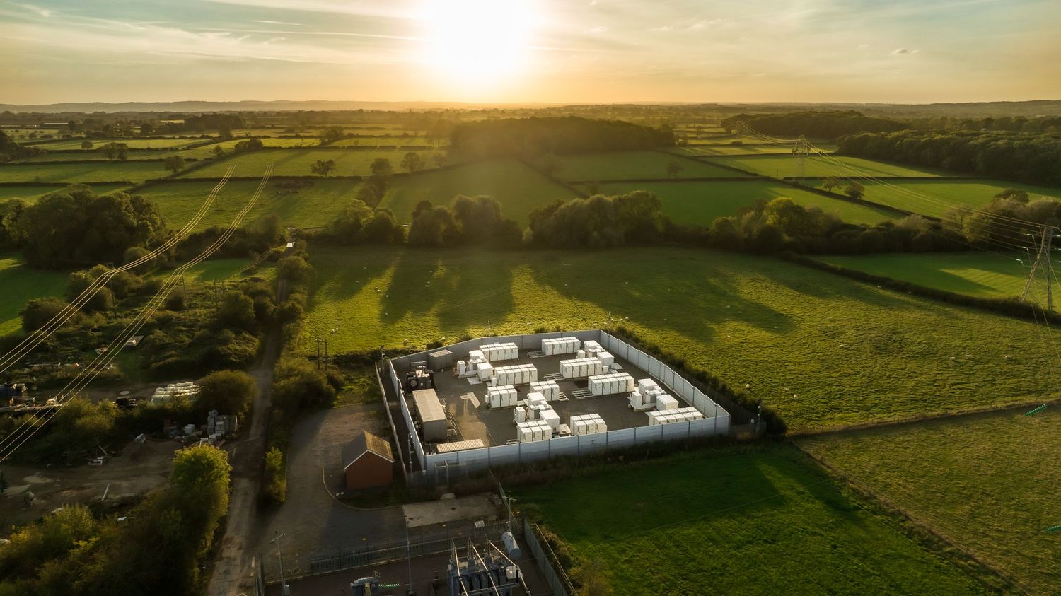
Using advanced software, data from drone building surveys can be transformed into 3D models and plans for architects and property developers.

As artificial intelligence continues to evolve, drones are poised to become even more effective in the construction industry.

Aerial Surveys Made Easy, Right at Your Fingertips

Row of technology company logos including Lighthouse and Electric displayed in grayscale.
Aerial view of a grand mansion with circular driveway surrounded by manicured gardens.
Aerial photograph of a large residential complex with multiple wings and landscaped gardens.
Aerial view of industrial facility with white storage tanks arranged symmetrically within concrete walls.
Bird's eye view of narrow European street with orange-roofed buildings and parked cars.
Construction team reviewing blueprints on a building site wearing safety gear.
Aerial view of a demolished building foundation with scattered construction debris and equipment.